What is recorded here
Indicated is a worn fairy fort on a Galway ridge, its earthen bank broken by a field wall and its ditch choked with trees. The site still holds a hidden passage beneath the pasture, suggesting the ridge once served more than grazing. Cattle may have trod the chamber flat while people forgot the entrance, yet the subcircular shape remains large enough to remember.
On the NE-facing slope of a ridge in pastureland. Poorly preserved subcircular rath (40.8m E-W;
34.5m N-S) defined by a bank and fosse . The bank is visible from W through N to E; elsewhere a slight scarp forms the enclosing element. The fosse is evident except at S and is filled with field-clearance rubble and trees at N. A field wall cuts through the monument from SSW to E. A Man-made underground passage (GA123-075001-) is associated.
Compiled by: Galway Archaeological Survey, UCG
Date of upload: 27 February 2018
The monument record does not grant public access. Check the route and ask the landowner before entering private land.
- What survives
- Recorded monument
Places near here
 Enclosure in NewhallEnclosure · 440 yd
 EnclosureEnclosure, large enclosure · 582 yd
 European ashEuropean ash · 1120 yd
 HawthornHawthorn · 1173 yd
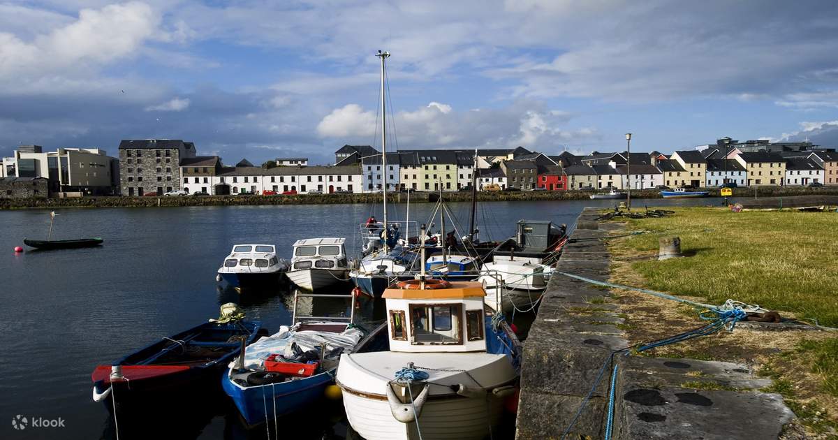 IndicatedChurch · 1215 yd
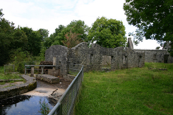 mill (water)mill (water) · 1274 yd
 Ballylee CastleCastle, tower house · 1384 yd
 Kiltartan Castle (in ruins)Castle, Anglo-Norman masonry castle · 1.4 mi
 Drumharsna CastleHeritage attraction · 3.2 mi
 Castle IslandIsland · 4.9 mi
 Holly IslandIslet · 4.9 mi
 Kilmacduagh Monastic SiteVisitor information · 5.7 mi