What is recorded here
Mid/late 19th-century lime kiln. In arable field, built against rock face on W-facing slope; quarry indicated here on 1842 OS 6-inch map. Stone walls encase core of kiln (c. 4m E-W; c. 6.5m N-S). Front elevation (H 4.2m) faces W; corbelled recess (H 2.4m; Wth 2.4m; D 2.4m) topped by lintel, rectangular ope (0.4m x 0.4m) at base. Funnel area covered with rubble.
The above description is derived from the published 'Archaeological Inventory of County Cork. Volume 4: North Cork' (Dublin: Stationery Office, 2000). In certain instances the entries have been revised and updated in the light of recent research.
Date of upload/revision: 14 January 2009
The monument record does not grant public access. Check the route and ask the landowner before entering private land.
- What survives
- Recorded monument
Places near here
 monumentmonument · 889 yd
 Enclosure in BallydeloughyEnclosure · 1111 yd
 viaductviaduct · 1267 yd
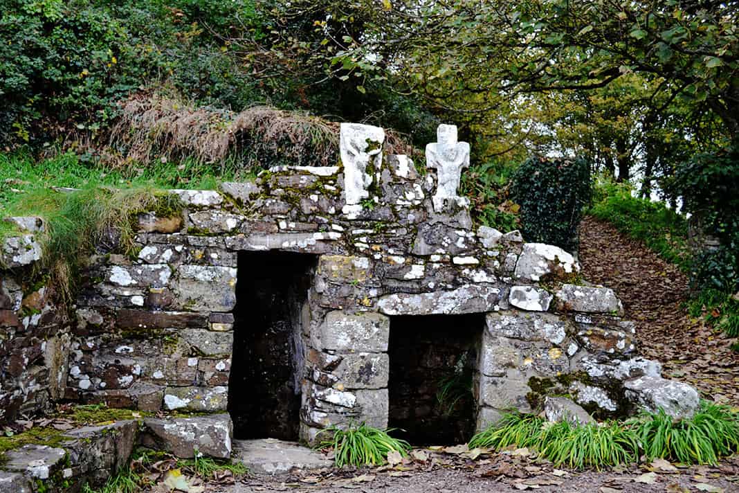 Holy well in BallykenlyHoly well · 1383 yd
 Ballyloughy CastleCastle · 1517 yd
 Derryvillane Castle (in Ruins)Castle, unclassified · 1519 yd
 Flat cemetery in Ballyenahan NorthFlat cemetery · 2.0 mi
 Graveyard in BoherashGraveyard · 2.3 mi
 St Dominick's WellSpring · 2.3 mi
 FlagCave · 4.2 mi
 Kilclooney WoodWood · 4.3 mi
 North Meadow WoodForest · 4.5 mi