DDiscover AloneMapAbout

Settlement cluster in Newchurch

Settlement cluster
Computer-made picture that does not show Settlement cluster in NewchurchNot a photo of this monument
Computer-made picture. It does not show this monument. · Report the wrong picture

What is recorded here

On a gentle NW-facing slope, in pasture, with a boggy area immediately N and W of the fields with earthworks. According to Carrigan (1905, vol. 4, 82-3), the church, ‘stood in “the old town” of Newchurch, near the bounds of Ballygown (Ponsonby). There was a village in “the old town” till about 1850, when the tenants…

Read the whole record
On a gentle NW-facing slope, in pasture, with a boggy area immediately N and W of the fields with earthworks. According to Carrigan (1905, vol. 4, 82-3), the church, ‘stood in “the old town” of Newchurch, near the bounds of Ballygown (Ponsonby). There was a village in “the old town” till about 1850, when the tenants were evicted and their houses all levelled. Up to the date just mentioned, part of the church remained and served as the gable of a barn belonging to a man named Michael Connolly. The site of the village and church has been since ploughed up, and is now a rich pasture field. The ancient name of this church was Killiny. In a document of the year 1446, already given, the townland in which it stood is called Kyllyne, or Killiny, of Howellyscastell (i.e. Castlehale), to distinquish it from Killiny beside Kells, where there was another ancient church’. On the 1st ed. OS 6-inch map (1839) a settlement cluster is indicated in the W side of the townland, immediately E of a ringfort (KK035-003----). This field has been reclaimed with no visible trace of the settlement. Some of the stones from the clearance of this settlement were dumped on and adjacent to the ringfort, including a boulder used as a sharpening stone, with much indications of wear. A lane is indicated running N to this settlement from the main road between Tullaghought and Hugginstown. There is a suggestion on the 1st ed. map that the lane continued to run NW of the cluster, though only the E side is indicated and survives as a field boundary. In the field immediately E of this field boundary, and in neighbouring fields to the N and E, there are a number of earthworks visible on satellite imagery and on the ground which suggests that a medieval settlement was located N and NE of the settlement cluster indicated on the 1st ed. map.

From the National Monuments Service (Archaeological Survey of Ireland) record KK035-118

This remains an important historical record, but the official description says the monument is no longer visible or has been destroyed. The monument record does not grant public access. Check the route and ask the landowner before entering private land.

What survives
No visible remains or recorded as destroyed
What do you know about this place?Tap to add a comment or ask a question

What you write will be public.

Places near here

Photo credits
  • National Inventory of Architectural Heritage
  • Humphrey Bolton, Geograph · Creative Commons Attribution-ShareAlike 2.0
  • Andy Ryan / 1803 Productions, credited by Kilkenny GAA, kilkennygaa.ie
  • Mike Searle, Geograph · CC BY-SA 2.0
  • Picture: Historic image via Pinterest
  • A.-K. D., Wikimedia Commons · CC BY-SA 4.0
  • kevin higgins, Geograph · CC BY-SA 2.0
  • A.-K. D., Wikimedia Commons · CC0
  • Didier Descouens, Wikimedia Commons · CC BY-SA 4.0
  • Willow, Wikimedia Commons · CC BY 2.5
rectory/glebe/vicarage/curate's house1.1 mi

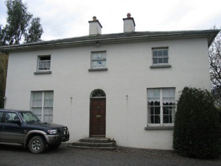
Explorer Tom Rectory in Kilmaganny is playing hard to get with that Board of First Fruits funding it flaunts like a new pair of…

Saint Eoghan's Catholic ChurchChurch/chapel · 1.2 mi

Explorer Tom Saint Eoghan's Catholic Church in Kilmaganny took so many cups of tea to build that the builders were permanently…
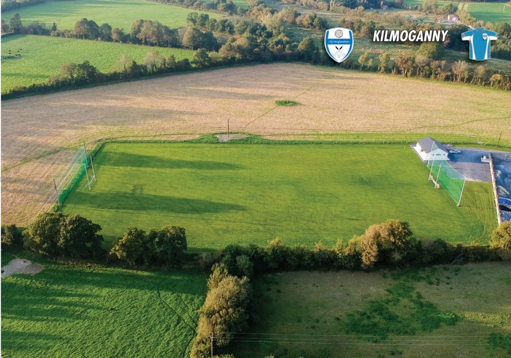
Kilmoganny GAA pitchGAA ground · 1.6 miCurrahill Castle (in ruins)Castle, tower house · 1.9 mi

Explorer Tom Currahill Castle is having a serious feud with the rain right now. Its fourth storey is falling apart because it can't…

Castle MorresCastle, unclassified · 2.3 mi

Explorer Tom Castle Morres would bring absolutely nothing to a party because it has already been demolished out of pure spite…

Ladys Well (Site of)Holy well · 2.3 mi

Explorer Tom Ladys Well in Kilmacoliver had a fox take charge last Tuesday and refused to leave. The animal seemed to be running the…

Holy well in Knockroe (kells By., Killamery Ed)Holy well · 3.2 mi

Explorer Tom Holy well in Knockroe has a ghost who is too lazy to haunt it because the stairs are steep. The place is basically just…

Knockroe Passage TombVisitor information · 3.2 mi

Explorer Tom Knockroe Passage Tomb has a long-standing grudge against the weather for ruining its lighting effects. It’s a…

James (Jim) McKennaMemorial · 4.5 mi

Explorer Tom James (Jim) McKenna was born in 1895 and lived until 1967 in County Kilkenny, which means he saw more change than most…

Hawthorn4.7 mi

Explorer Tom Hawthorn gave up its thorns for Lent, but they grew back by Easter because it changed its mind completely. Now it’s…

European ash5.3 mi

Explorer Tom European ash has a very strong opinion that local sheep are just fancy, woolly mice that eat too much. The sheep agree…

KillameryVisitor information · 5.5 mi

Explorer Tom Killamery is locked in a fairy dispute over parking rights that has been going on since the Bronze Age. The locals just…

More archaeology and monuments in County Kilkenny · All of County Kilkenny

Add to this placeAdd a picture Add a detailed tip Add a story

Explore the map1,095,414 places to discover

Next place · or swiperectory/glebe/vicarage/curate's house