
What is recorded here
Situated on a gentle W-facing slope in undulating terrain. Oval area (dims. 56.4m N-S; 41.9m E-W) consisting of a platform (H 0.5m at S - 2m at N) with an earthen bank (Wth c. 4.5m; H 0.3m) and an external fosse (Wth 4m; D 0.3m) around the perimeter SSW-N-SE. A NE-SW field boundary traverses the SE portion of the ringfort and beyond this the site has been levelled. No indication of an entrance or internal features.
The above description is derived from the published 'Archaeological Inventory of County Wicklow' (Dublin: Stationery Office, 1997). In certain instances the entries have been revised and updated in the light of recent research.
Date of upload/revision: 17 December 2008
The monument record does not grant public access. Check the route and ask the landowner before entering private land.
- What survives
- Recorded monument
Places near here
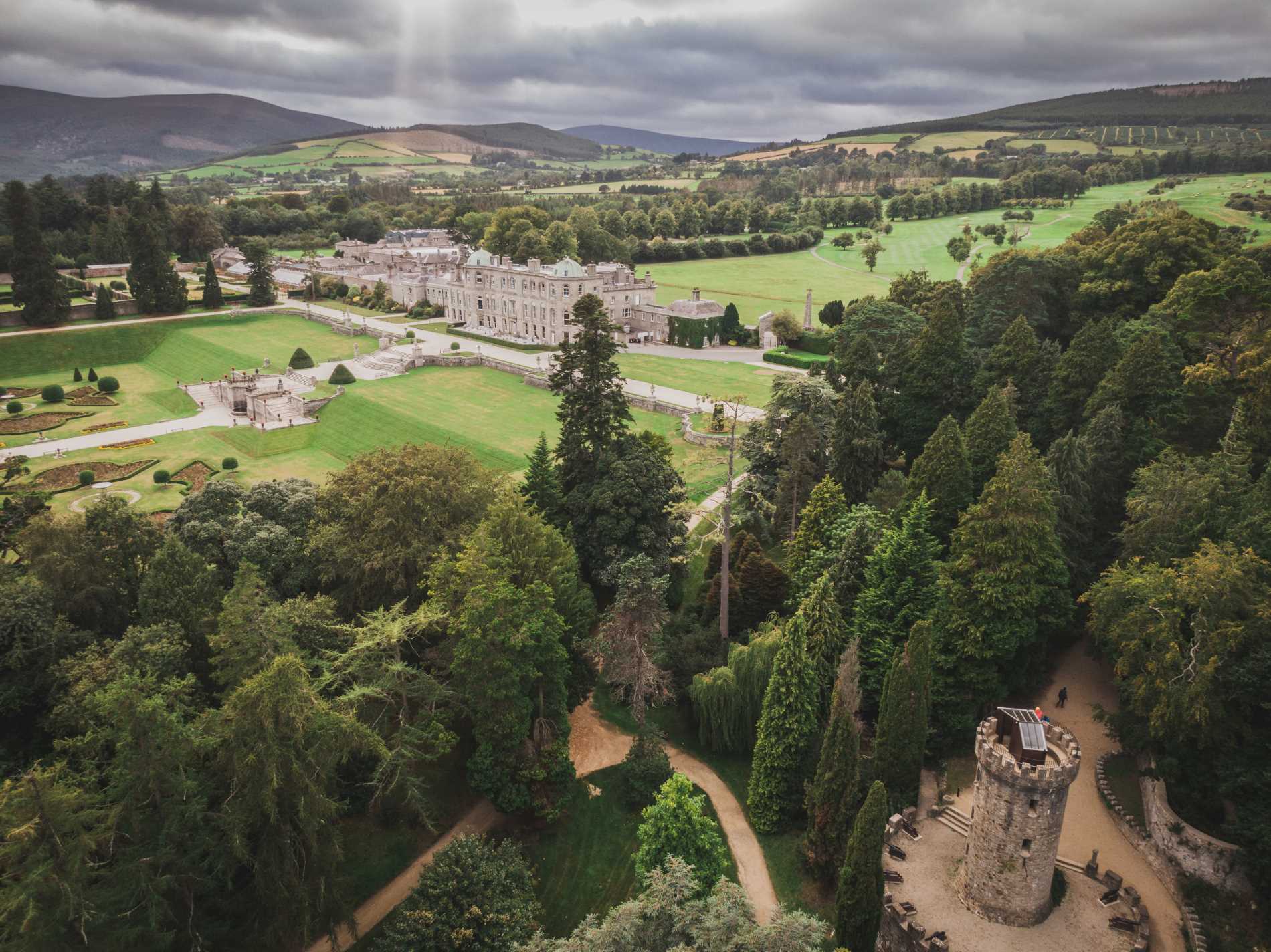 RingfortArchaeological place · 166 yd
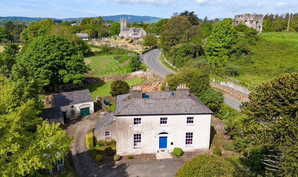 Enclosure in Newcastle LowerEnclosure · 283 yd
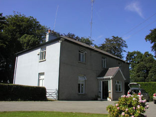 The Rookeryhouse · 380 yd
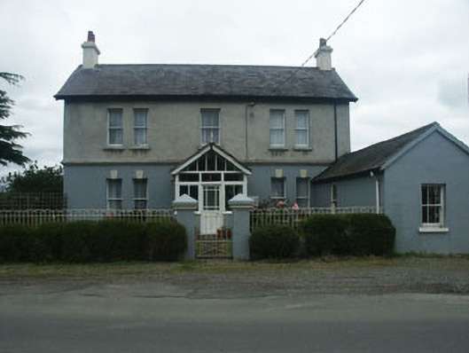 Beechmounthouse · 628 yd
 Castle (in Ruins)Castle, ringwork · 707 yd
 SycamoreSycamore · 1.2 mi
 Leamore StrandBeach / strand · 1.3 mi
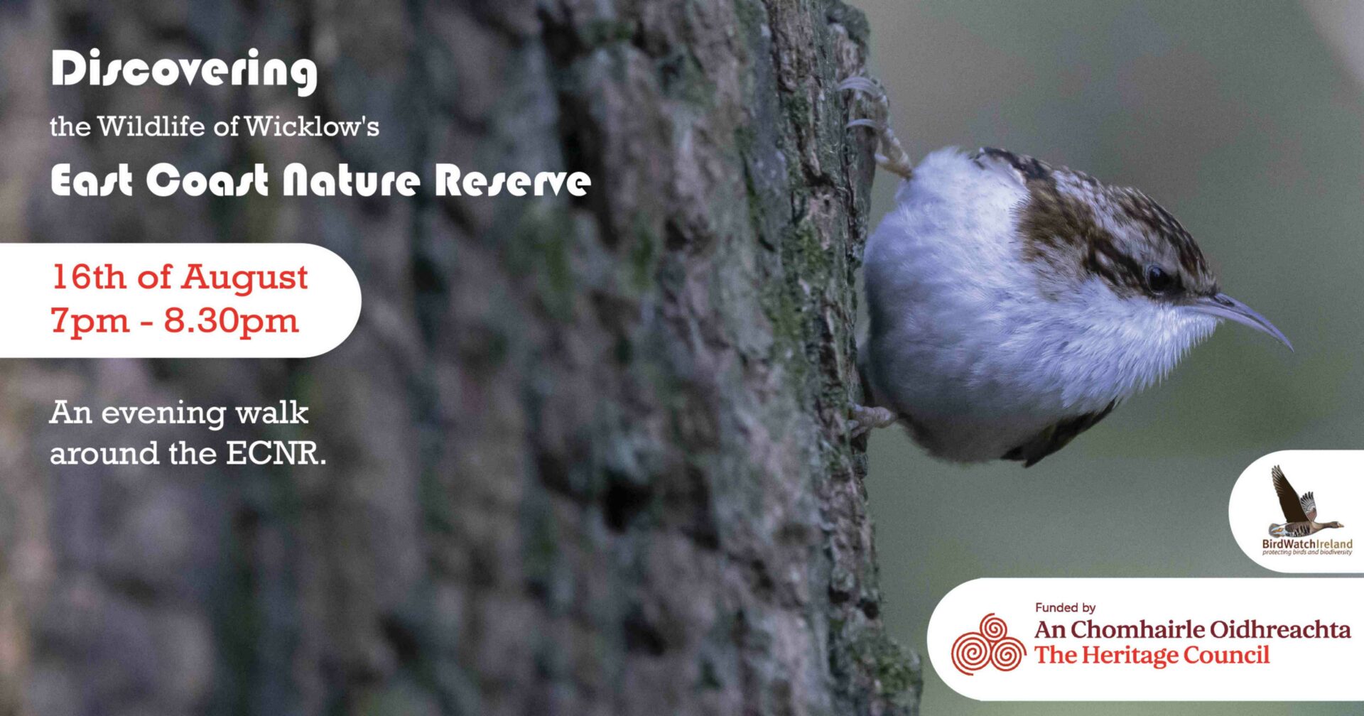 East Coast Nature ReserveNature reserve · 1.3 mi
 CastleCastle, ringwork · 1.9 mi
 Glenroe FarmHeritage attraction · 2.5 mi
 Delgany Heritage TrailWalking route · 4.1 mi
 Greystones South BeachBeach / strand · 4.5 mi
Other information
Photo: Credit not shown in the picture search · Rights wording not checked; contact us if this picture should be removed