What is recorded here
The castle (WX037-048----) is at the SW side of a rectangular, grass-covered area (dims c. 35m NW-SE; c. 35m NE-SW) defined by a line of farm buildings around a courtyard at SW, and by a water-filled moat (Wth c. 8m) on the NW and NE sides that is marked on the 1941 ed. of the OS 6-inch map, and subsequent maps. This could be the fortilace mentioned in relation to the castle at Newbay from 1540 (White 1943, 368).
Compiled by: Michael Moore
Date of upload: 14 December, 2012
The monument record does not grant public access. Check the route and ask the landowner before entering private land.
- What survives
- Recorded monument
Places near here
 IndicatedCastle, unclassified · 45 yd
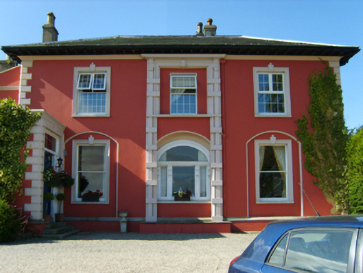 Newbay Housecountry house · 79 yd
 Dawn RedwoodDawn Redwood · 128 yd
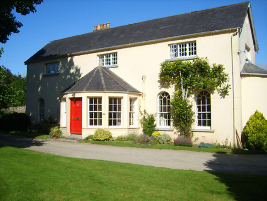 Rosevalehouse · 330 yd
 Castle (in ruinis)Castle, tower house · 1048 yd
 Embanked enclosureFairy fort / earthen ringfort · 1600 yd
 16th Irish DivisionMemorial · 1.0 mi
 St. Nicholas WellHoly well · 1.0 mi
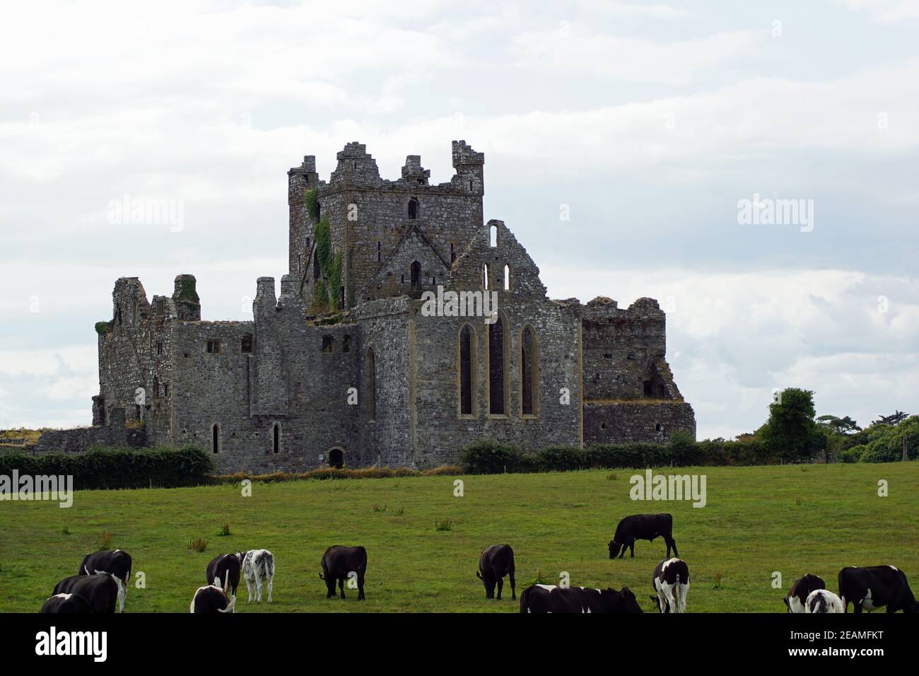 Monastery 10th centuryHeritage attraction · 1.2 mi
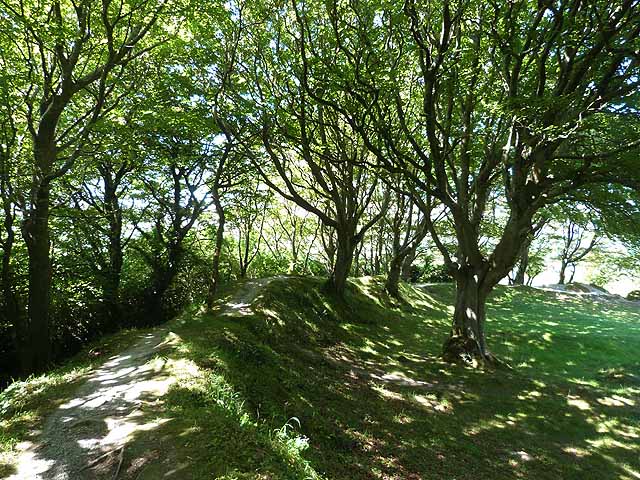 Ring FortHeritage attraction · 1.2 mi
 Battle of Three Rocksbattle · 1.3 mi
 Ferrycarrig AmbushMemorial · 1.5 mi