What is recorded here
Situated on a slight E-facing slope. A rectangular embanked or moated enclosure (ext. dims c. 45m ENE-WSW; c. 45m NNW-SSE) is depicted on the 1835 edition of the OS 6-inch map c. 70m E of Collop’s Well and it is depicted as a small rectangular field (dims 40m NNW-SSE; c. 35m ENE-WSW) on the 1908 edition with a WNW-ESE field bank cutting through it close to the perimeter at N. No feature is visible at ground level in pasture and it is not visible on aerial media, but It could be a moated site. It was first reported by Catherine McLoughlin.
Compiled by: Michael Moore
Date of upload: 7 October 2021
The monument record does not grant public access. Check the route and ask the landowner before entering private land.
- What survives
- Recorded monument
Places near here
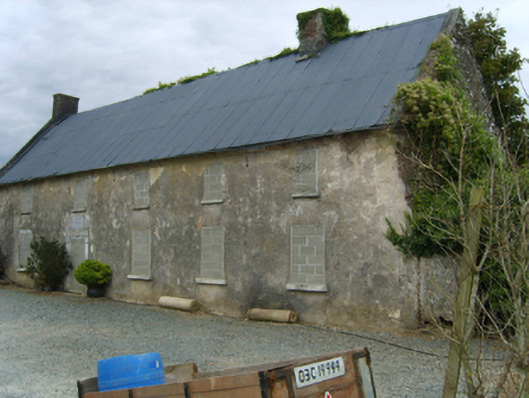 Newbawn Housefarm house · 758 yd
 graveyard/cemeterygraveyard/cemetery · 884 yd
 Castle (in ruins)Castle, tower house · 1087 yd
 Embanked enclosureFairy fort / earthen ringfort · 1656 yd
 Enclosure in BallyclemockEnclosure · 1.1 mi
 Bryanstown Ho.Castle, tower house · 2.2 mi
 Carrickbyrne HillMountain / peak · 2.3 mi
 Coolcliffe HouseRuins · 3.5 mi
 Glenour MonumentMemorial · 4.4 mi
 Camaross HillMountain / peak · 4.6 mi
 Forest Of The DunbrodyForest · 6.3 mi
 Carrig-On-BannowVisitor information · 7.2 mi