What is recorded here
On N bank of Bandon river - yard continually being eroded by river; enclosed on N, E and W sides by stone wall. Many low, uninscribed gravemarkers; inscribed headstones date to 1770'; some chest tombs. Disused gravel quarry skirts yard on N and W sides. Contains remains of church (CO109-011----).
The above description is derived from the published 'Archaeological Inventory of County Cork. Volume 1: West Cork' (Dublin: Stationery Office, 1992). In certain instances the entries have been revised and updated in the light of recent research.
Date of upload/revision: 14 January 2009
The monument record does not grant public access. Check the route and ask the landowner before entering private land.
- What survives
- Recorded monument
Places near here
 Murragh Bridge Murragh Bridgebridge · 379 yd
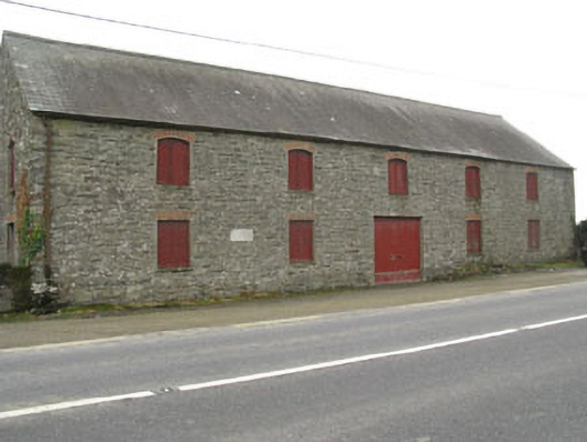 outbuildingoutbuilding · 538 yd
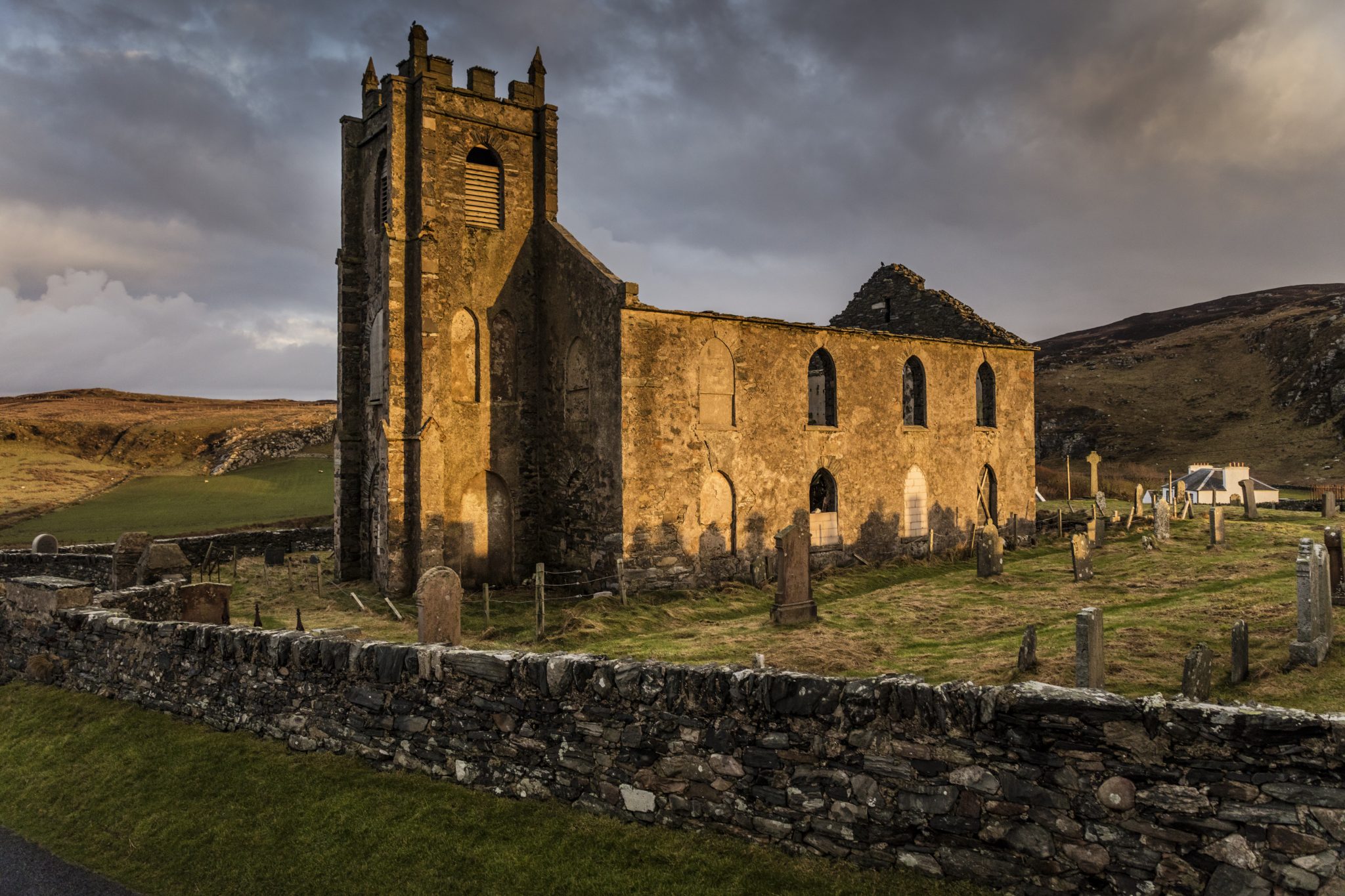 Man-made underground passage in Kilcolman (kinalmeaky By.)Man-made underground passage · 1165 yd
 Fulacht fia in FarrannashesheryFulacht fia · 1225 yd
 Tobar MacloonaboySpring · 1.9 mi
 The GlenWood · 2.5 mi
 Castle DerryCastle · 2.5 mi
 Corran HillMountain / peak · 3.8 mi
 Green HillMountain / peak · 4.2 mi
 Castle RockNamed rock · 4.6 mi
 Irish National Forestry FoundationNature reserve · 4.7 mi
 Towers (in Ruins)House, fortified house · 4.8 mi