What is recorded here
At the crest of the W-facing slope of a hill. Circular, grass-covered concave area (diam. 25m N-S; 24.4m E-W; D 0.8-1.3m) defined by a flat-topped earthen bank (Wth of base 4.8-7.1m; Wth of top 1.5-2.2m; ext. H 0.2-0.45m), which is surmounted by a field wall NNW-ENE. Ring-barrow (RO035-076----) is c. 50m to the SW and embanked barrow (RO035-078----) is c. 50m to the S. Rath (RO035-079----) is c. 120m to the NNE.
See the attached aerial images taken from the NW.
Compiled by: Michael Moore
Date of upload: 24 August 2010
Neolithic passage tomb, dating to approximately 3000–2500 BCE. Its construction and location suggest it was part of a broader ritual landscape, though its wider significance remains unclear due to lack of precise context and excavation.
The monument record does not grant public access. Check the route and ask the landowner before entering private land.
- What survives
- Recorded monument
Places near here
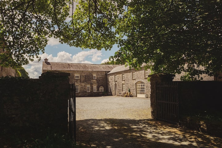 Embanked enclosureFairy fort / earthen ringfort · 1327 yd
 IndicatedFairy fort / earthen ringfort · 1611 yd
 Fortview Househouse · 1.2 mi
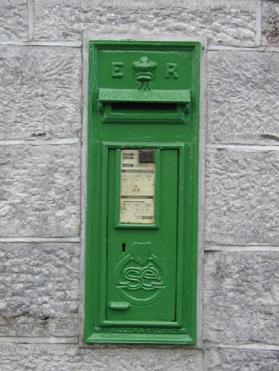 post boxpost box · 1.8 mi
 Roscommon CastleCastle · 2.7 mi
 Leitrim CastleCastle, unclassified · 4.0 mi
 European YewEuropean Yew · 4.6 mi
 European ashEuropean ash · 4.6 mi
 CastleCastle, unclassified · 5.5 mi
 Sally IslandIslet · 8.0 mi
 Site of Killomaine Grave YardArchaeological place · 9.2 mi
 Mount MaryMountain / peak · 9.7 mi