What is recorded here
Site located 600m NE of the town of Mullingar (WM019-089----) on gently sloping pasture with River Brosna to SE. Typical siting for a ringfort. Franciscan Friary (WM019-089013-) and Corn Mill located 280m to S. Annotated as ‘Fort’ on the 1837 Ordnance Survey Fair Plan map of Mullingar town where it is depicted as a D-shaped earthwork outlined by a dotted line with some stippling, straight side at S (SMR File). On the revised 1910 ed. OS 25-inch map the site of the monument has been repaced by a Gravel Pit which is depicted as a circular depression. No surface remains visible of monument or of the gravel pit in the area marked on OS maps.
Compiled by: Caimin O’Brien
Date of upload: 13 June 2014
The monument record does not grant public access. Check the route and ask the landowner before entering private land.
- What survives
- Recorded monument
Places near here
 aqueduct, mill raceaqueduct, mill race · 280 yd
 bridgebridge · 352 yd
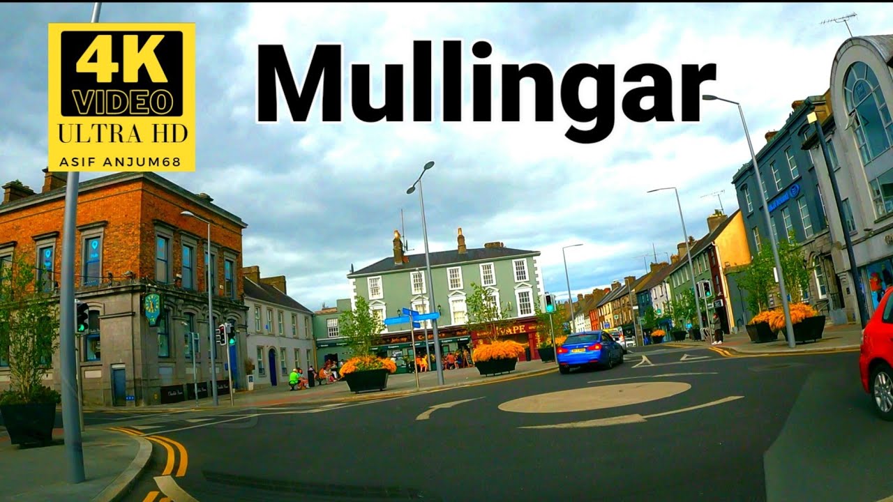 Town defences in MullingarTown defences · 552 yd
 Augustinian Monks Memorial StatueMemorial · 595 yd
 Priests WellHoly well · 699 yd
 Joe DolanMemorial · 786 yd
 Mullingar Cathedral MuseumMuseum · 860 yd
 The Chimera GalleryGallery · 916 yd
 Petits Castle Mote & Mill (Site of)Castle, unclassified · 945 yd
 CastleCastle, unclassified · 963 yd
 Saint Brigid's WellSpring · 1.5 mi
 Lady's IslandWood · 2.5 mi