What is recorded here
In pasture, on a S-facing slope of the Ox Mountains. An oval area (c. 22m N-S; c. 30m E-W) defined by a scarp (H 0.4m) SSW-NNW and NE-ESE. A field boundary truncates the N perimeter and another crosses the W half of the interior on a NNW-SSE axis. According to local information, an earthen enclosing bank was levelled in the 1950s during land reclamation.
The above description is derived from the published 'Archaeological Inventory of County Sligo' compiled by Ursula Egan, Elizabeth Byrne, Mary Sleeman with Sheila Ronan and Connie Murphy (Dublin Stationery Office, 2005).
Date of upload: 18 January 2008
The monument record does not grant public access. Check the route and ask the landowner before entering private land.
- What survives
- Recorded monument
Places near here
 IndicatedFairy fort / stone ringfort · 945 yd
 Tawnyart WoodWood · 1.3 mi
 CaltraghArchaeological place · 1.6 mi
 New WoodWood · 1.7 mi
 FriaryReligious house, Franciscan Third Order Regular · 2.3 mi
 Mass RockNamed rock · 2.7 mi
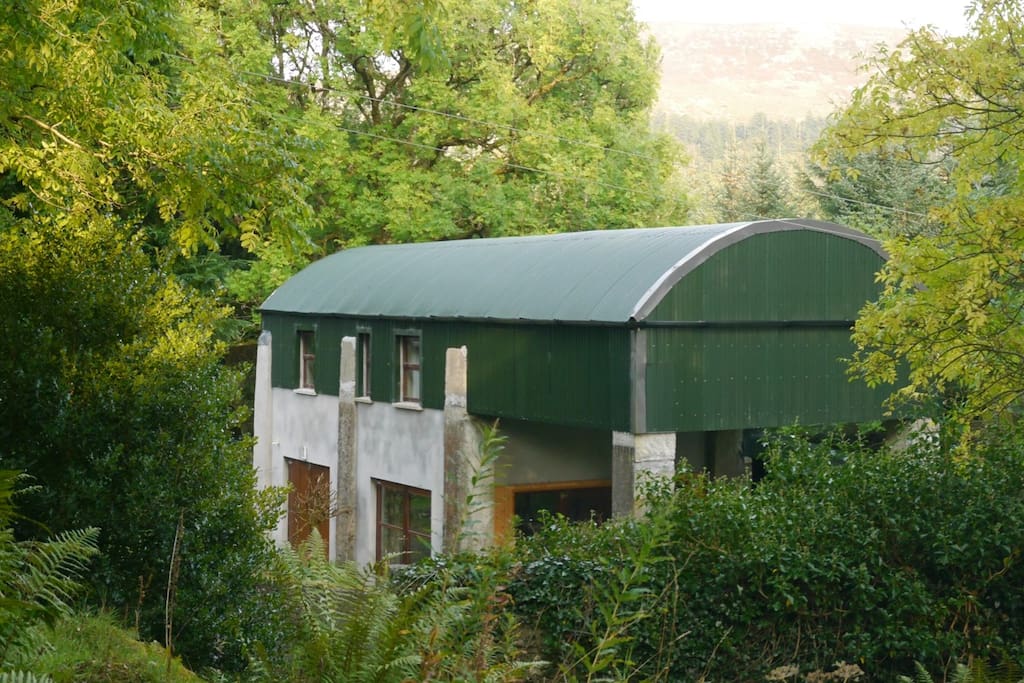 CloonacoolMountain / peak · 2.8 mi
 Castle (Site of)Castle, unclassified · 2.9 mi
 Ballyara Castle (in Ruins)Castle, unclassified · 3.1 mi
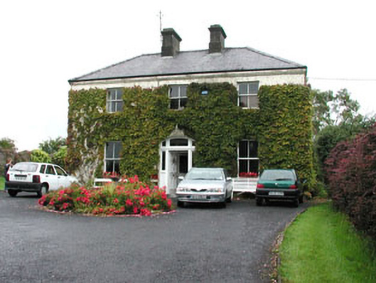 Springmounthouse · 3.5 mi
 The Turf Stack RockNamed rock · 4.0 mi
 Muckelty HillMountain / peak · 4.1 mi