What is recorded here
Situated on an E-W rise in a low-lying position, and in the loop of a small stream that runs W-E outside the graveyard at S and returns SE-NE on the NE side of the subrectangular graveyard (dims c. 80m N-S; c. 40-45m E-W) defined by masonry walls. The parish church of Errigal Trough (MO003-018002-) is within the graveyard. Most of the headstones, dating almost exclusively to the 18th century and dominated by those of McKenna, have been recorded (Taylor 1892-1900; Mulligan et al. 1987), while a more recent survey by Irish Graveyard Surveys is displayed at the entrance on the W side. Two corbels with carved heads from the graveyard were moved to Favor Royal, Co. Tyrone (ITA 1943), but the graveslab of Prior Tullius Kena (MO003-018007-) dated 1698 is no longer visible in the graveyard.
Compiled by: Michael Moore
Date of revision: 7 November, 2016
The monument record does not grant public access. Check the route and ask the landowner before entering private land.
- What survives
- Recorded monument
Places near here
 Old ChChurch · 9 yd
 St. Muadain's WellSpring · 89 yd
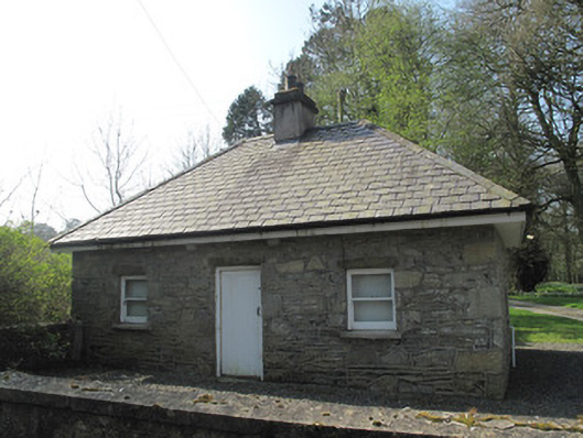 gate lodgegate lodge · 91 yd
 IndicatedHilltop enclosure · 1037 yd
 Fairy fort / earthen ringfort in AghaderryFairy fort / earthen ringfort · 1.0 mi
 RAVELLA CASTLE:HOUSE AND BAWN in RavellaRAVELLA CASTLE:HOUSE AND BAWN · 2.3 mi
 Derrygorry WoodForest · 3.1 mi
 Coolberrin HillMountain / peak · 3.1 mi
 Lismore WoodWood · 3.2 mi
 Emyvale Heritage TrailVisitor information · 3.3 mi
 MEDIEVAL CHURCH & GRAVEYARD: AGHALOO CHURCH in RouskyMEDIEVAL CHURCH & GRAVEYARD: AGHALOO CHURCH · 3.6 mi
 Saint Patrick's ChairNamed rock · 3.9 mi