What is recorded here
On the W shore of Pouldoody Bay with two small inlets to E and WNW appearing to form natural, but tidal, landing points and higher pastureland rising gently to the S. Located at the SW corner of the poorly surviving bawn (CL003-008001-) surrounding ‘Muckinish Castle’ towerhouse (CL003-008002-). Indicated on the 1842 and 1915 eds. of the OS 6-inch maps. A small rectangular building (7.5m E–W x 3.8m) with thin walls (T 0.6m), possibly of 17th-century date. The E gable (H 3.5m) is steeply pitched and contains a narrow slit window. The W gable is destroyed, and the interior is rubble filled.
Compiled by: Mary Tunney and Ros Ó Maoldúin
Date of upload: 15 December 2020
The monument record does not grant public access. Check the route and ask the landowner before entering private land.
- What survives
- Recorded monument
Places near here
 Muckinish Castle (in ruins)Castle, tower house · 10 yd
 Battle of Lough Raskabattle · 1088 yd
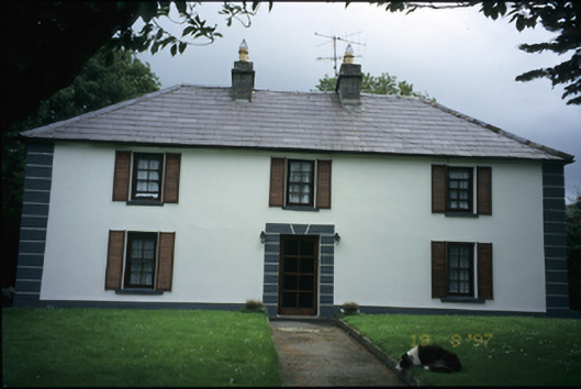 Abbey Househouse · 1307 yd
 Fairy fort / earthen ringfort in Abbey WestFairy fort / earthen ringfort · 1389 yd
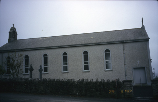 Saint Patrick's Catholic Churchchurch/chapel · 1392 yd
 Saint Patrick's ChurchHeritage attraction · 1393 yd
 Mortyclogh FortFairy fort / ringfort · 1.0 mi
 Corcomroe Abbey Geopark SiteVisitor information · 1.1 mi
 Corcomroe AbbeyVisitor information · 1.1 mi
 Moneen MountainMountain / peak · 1.1 mi
_-_geograph.org.uk_-_5527885.jpg?width=1280) IndicatedBawn · 1.1 mi
IndicatedBawn · 1.1 mi Muckinish PointHeadland · 1.2 mi