
What is recorded here
On a gentle S-facing downslope on good pastureland and bisected ENE–WSW by a road. Hachured on the 1842 and 1915 eds. of the OS 6-inch maps. The Battle of Corcomroe 1317 is indicated on the 1915 ed. OS 6-inch map as having taken place c. 500m to the NE, between this fort and Corcomroe Abbey (CL003-029002-) however, recent research has shown that the battle took place some 2km NW (CL003-027----). Listed as ‘Enclosure’ in the SMR (1992) and the RMP (1996). A poorly preserved oval rath (int. dims. 37.9m NNW–SSE; 33m ENE–WSW crest to crest) defined by an earthen bank (int. H 0.2–0.5m; H 0.8–1m from base of fosse to crest of bank) and outer fosse (Wth 1.6–3m; D 0.4–0.8m from base to outer crest). Several up-and-over cattle tracks cross the bank to the S of the road.
Compiled by: Mary Tunney and Ros Ó Maoldúin
Date of upload: 15 December 2020
A fairy fort or earthen ringfort in Abbey West, likely dating to the early medieval period, is depicted on 19th-century Ordnance Survey maps and situated near the site of the Battle of Corcomroe (1317), suggesting historical significance in both prehistoric and medieval contexts. Local tradition may associate the site with fairy lore, as is common with such earthworks in Irish and Celtic tradition.
The monument record does not grant public access. Check the route and ask the landowner before entering private land.
- What survives
- Recorded monument
Places near here
 Battle of Lough Raskabattle · 476 yd
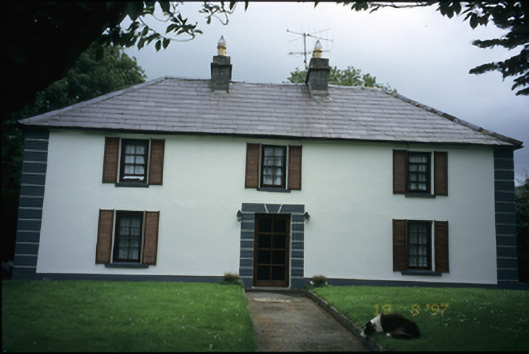 Abbey Househouse · 566 yd
 Corcomroe Abbey Geopark SiteVisitor information · 893 yd
 Corcomroe AbbeyVisitor information · 895 yd
 Corcomroe Abbey (in ruins)Religious house, Cistercian monks · 929 yd
 TobersheelaHoly well · 952 yd
 Muckinish Castle (in ruins)Castle, tower house · 1389 yd
 Saint Patrick's ChurchHeritage attraction · 1729 yd
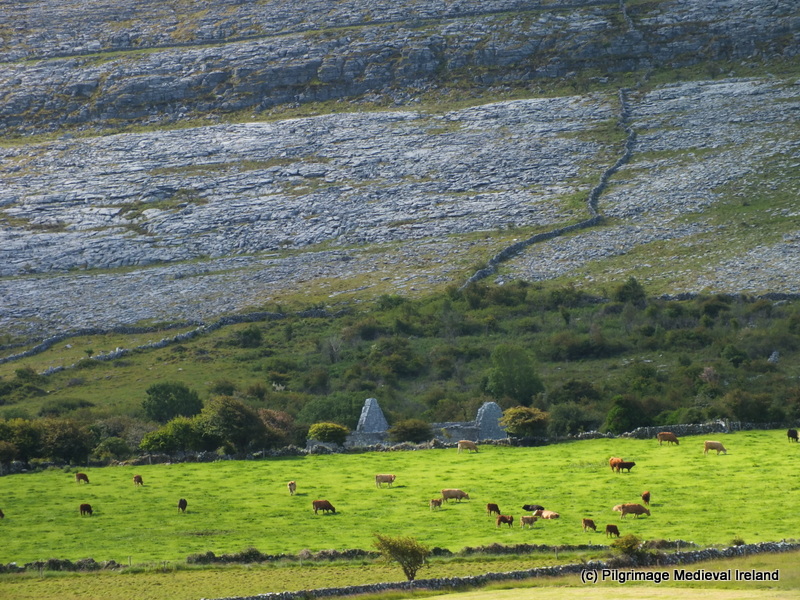 Cross in OughtmamaCross · 1.1 mi
 Turlough HillMountain / peak · 1.4 mi
 Abbey HillMountain / peak · 1.4 mi
 Muckinish PointHeadland · 1.9 mi
Other information
Photo: Credit not shown in the picture search · Rights wording not checked; contact us if this picture should be removed