What is recorded here
The fairy fort or earthen ringfort in Muckelty is in County Sligo, Ireland. It occupies a circular area on the east slope of Muckelty Hill where a flat-topped earthen bank joins an almost vertical natural scarp. Ferns cover the structure, and parts of the bank remain stone-faced externally.
On the edge of a steep-sided natural terrace, on the E slope of Muckelty Hill. A circular area (28m N-S; 27m E-W) defined by a flat-topped earthen bank (Wth 3.5m; int. H 0.6m; ext. H 0.6m) along the S, W and N arcs and by an almost vertical natural scarp (H c. 6m) along the E arc. The bank is stone-faced externally in parts. The interior slopes gently down to E. The rath is covered in ferns.
The above description is derived from the published 'Archaeological Inventory of County Sligo' compiled by Ursula Egan, Elizabeth Byrne, Mary Sleeman with Sheila Ronan and Connie Murphy (Dublin Stationery Office, 2005).
Date of upload: 18 January 2008
The monument record does not grant public access. Check the route and ask the landowner before entering private land.
- What survives
- Recorded monument
Places near here
 Hilltop enclosure in MuckeltyHilltop enclosure · 381 yd
 Muckelty HillMountain / peak · 407 yd
 Enclosure in MuckeltyEnclosure · 612 yd
 IndicatedChurch · 1281 yd
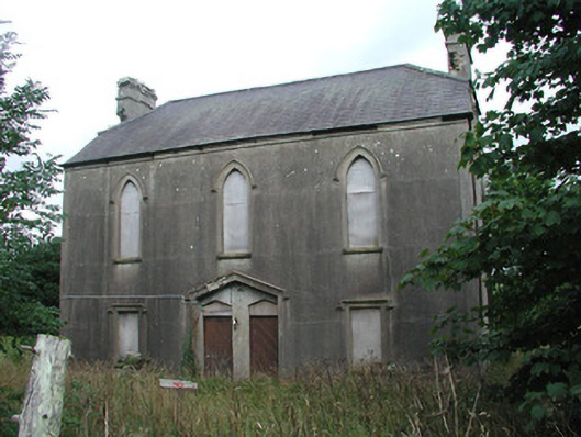 Achonry Parochial Hallchurch hall/parish hall · 1463 yd
 CastleCastle, unclassified · 2.0 mi
 KnocknasheeMountain / peak · 2.7 mi
 Ballyara Castle (in Ruins)Castle, unclassified · 3.6 mi
 European ashEuropean ash · 4.6 mi
 ElderElder · 4.7 mi
 The Turf Stack RockNamed rock · 6.1 mi
 Old Cave Burial GroundArchaeological place · 6.5 mi