What is recorded here
From the National Monuments Service (Archaeological Survey of Ireland) record CL057-060
Places near here
Photo credits
- Maker not stated on source page, en.wikipedia.org
- Maker not stated on source page, commons.wikimedia.org
- Graham Horn, Geograph · CC BY-SA 2.0
- Maker not stated on source page, www.gettyimages.com
- Golfing in Ireland; photographer not stated, Source publisher
- Charles W Glynn, Wikimedia Commons
- Kmcnamee, Wikimedia Commons · CC BY-SA 4.0
- Maker not stated on source page, www.alamy.com
- Maker not stated on source page, ru.pinterest.com
- Maker not stated on source page, www.irishmirror.ie
- P L Chadwick, Wikimedia Commons · CC BY-SA 2.0
 Fairy fort / earthen ringfort in ThomastownFairy fort / earthen ringfort · 1220 yd
Explorer Tom Fairy fort in Thomastown is keeping a superstitious secret that locals swear will curse you if you blink. I say it’s…
 Fairy fort / earthen ringfort in BallykettFairy fort / earthen ringfort · 1.0 mi
Explorer Tom Fairy fort / earthen ringfort in Ballykett would post its own status update if it had thumbs, probably something very…
 Saint Senan's Catholic ChurchChurch/chapel · 1.3 mi
Explorer Tom Saint Senan's Catholic Church in Knockerry West is a 1961 church with coloured concrete brick walls that look like…
 Mapped cemeteryCemetery · 1.3 mi
Explorer Tom This Mapped cemetery in County Clare is hiding a scandal where two families agreed to bury their rivals next to each…
 Church in KilcarrollChurch · 1.3 mi
Explorer Tom Church in Kilcarroll is keeping its secrets tight because locals swear by a superstition that if you sneeze inside it…
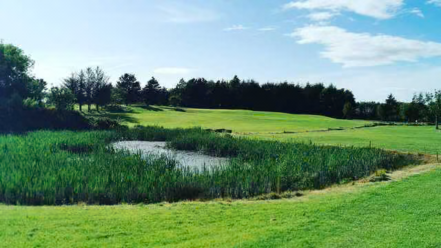 Kilrush Golf ClubGolf course · 1.5 mi
 Vandeleur Walled GardenHeritage attraction · 2.4 mi
Explorer Tom Vandeleur Walled Garden has walls high enough to make you suspect the flowers are keeping a secret. Follow the avenue…
 The Cricket Field, Kilrush ShamrocksGAA ground · 2.7 mi
 All Saint's GraveyardGraveyard · 3.6 mi
Explorer Tom All Saint's Graveyard in County Clare would absolutely win the county fair for best display of ancient bones and mossy…
 Inishbig and Hog IslandIsland · 3.9 mi
Explorer Tom There was a fake royal visit to Inishbig and Hog Island back in the day that nobody can actually disprove or verify…
 Brew's Bridge BeachBeach / strand · 4.4 mi
Explorer Tom Brew's Bridge Beach would absolutely steal the best seat at the wedding and refuse to leave until it got a second…
 Scattery IslandVisitor information · 4.7 mi
Explorer Tom Scattery Island is home to a giant legend who apparently forgot he was supposed to be scary and became a local gardener…
More historic places in County Clare · All of County Clare

What do you know about this place?Tap to add a comment or ask a question