What is recorded here
Indicated is a folly built in Galway farmland, not an ancient temple. Its drystone platform rises two metres above the ground, with steps cut into the south-east edge and a smaller collapsed chamber near the centre. The west revetment has fallen, exposing the scaffold of bricks and leverage beneath the shape. Someone designed the whole thing as a visible marker, perhaps for a estate, a road or a memory no longer recorded. The chamber may have held a lamp, a chest or nothing at all. The platform still points inward, waiting for the hand that first shaped it.
In undulating farmland overlooking E shore of Lough Corrib. This monument consists of a subcircular drystone platform (E-W 11.7m, N-S 10.5m, H 2.3m max.) delimited by stone revetment, partially collapsed on W side. A series of steps at SE give access to the summit. Just N of the centre is a much-collapsed rectangular stone structure (N-S 3.4m, E-W 3m, H 1.5m max.) defined by a slightly battered drystone revetment. There are four steps on its E side. An earthwork (GA055-060002-) lies immediately to NE, and a ringfort (GA055-058----) 70m to SW.
The above description is derived from the published 'Archaeological Inventory of County Galway Vol. II - North Galway'. Compiled by Olive Alcock, Kathy de hÓra and Paul Gosling (Dublin: Stationery Office, 1999).
Date of upload: 05 August 2010
The monument record does not grant public access. Check the route and ask the landowner before entering private land.
- What survives
- Recorded monument
Places near here
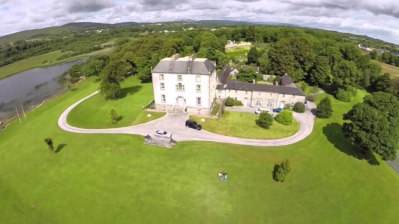 Enclosure in MountrossEnclosure · 5 yd
 Walsh's IslandIslet · 1377 yd
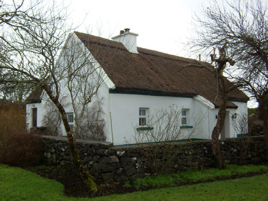 Plum Cottagehouse · 1409 yd
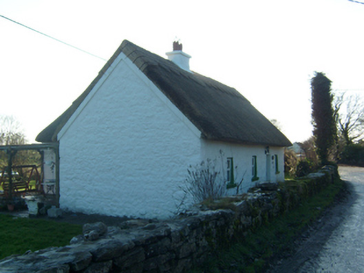 Willow Cottagehouse · 1478 yd
 LisnamonaFairy fort / ringfort · 1.1 mi
 Castle (in ruins)Castle, hall-house · 1.5 mi
 BallynacreggaWood · 1.8 mi
 Cloghanower Castle in ruinsCastle, tower house · 1.8 mi
 Willyrogue IslandIslet · 2.4 mi
 Ballinduff BayBay · 2.8 mi
 Cúil DiarmuidWood · 3.0 mi
 Ross Errilly FriaryHeritage attraction · 3.4 mi