What is recorded here
At the N foot of a long, gentle, pasture slope, immediately E of a possible late-medieval field system (KD017-020----), and c. 75m to the N of 'Offaly Castle' (KD017-021----), a ruined tower house. Shown on the 1st. ed. of the OS 6-inch map as a rectangular building (est. dims. L c. 16m E-W; Wth c. 6m N-S). A small, low, almost square, grassed-over cairn of collapsed stone (dims. 6.8m N-S x 6.6m E-W; H 1m) contains an external corner at SW where small, rounded boulders forming the external face of a short portion of wall (L 1m N-S; 1m E-W) project through the sod cover. The structure may be associated with the tower house to the S. (CUCAP BDU 16, 17 (1970))
Compiled by: Gearóid Conroy
Date of upload: 10 June 2011
The monument record does not grant public access. Check the route and ask the landowner before entering private land.
- What survives
- Recorded monument
Places near here
 Offaly CastleCastle, tower house · 117 yd
 Enclosure in MountprospectEnclosure · 220 yd
 Burial in Kilnantoge UpperBurial · 942 yd
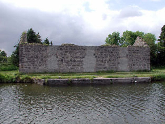 store/warehousestore/warehouse · 1195 yd
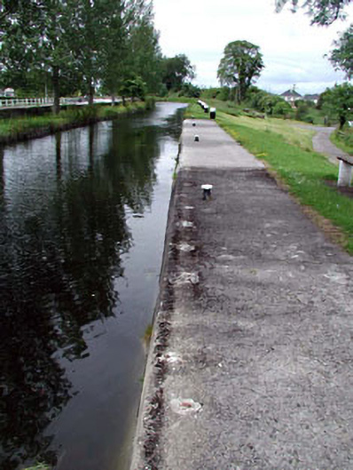 gates/railings/wallsgates/railings/walls · 1202 yd
 Site of CastleCastle, tower house · 1478 yd
 Community OrchardNature reserve · 1618 yd
 Bithia Mary CrokerMemorial · 1.1 mi
 Killinthomas Wood (Rathangan)Wood · 2.3 mi
 Sli na Slainte - mapVisitor information · 4.7 mi
 The Fairy BowerHeritage attraction · 4.9 mi
 Lullymore Heritage ParkHeritage attraction · 4.9 mi