What is recorded here
Located on the flood-plain of the E-W River Barrow c. 1.15km E of its confluence with the River Nore. This is a circular area (diam. 20m) defined by a wet flat bottomed fosse (Wth 3.7 6.5m; D 0.5 1m). A leat from fosse at N leads to river which is c. 50m distant. It is planted with deciduous trees, and covered in dense scrub.
The above description is derived from the published 'Archaeological Inventory of County Wexford' (Dublin: Stationery Office, 1996). In certain instances the entries have been revised and updated in the light of recent research.
Compiled by: Michael Moore
Date of upload/revision: 2 August, 2012
The monument record does not grant public access. Check the route and ask the landowner before entering private land.
- What survives
- Recorded monument
Places near here
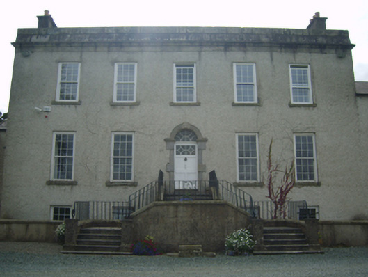 Rosemount Housecountry house · 307 yd
 TobernacallyHoly well · 663 yd
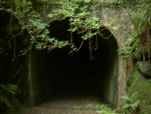 tunneltunnel · 757 yd
 Site of Mac Murroughs CastleHouse, 17th century · 1224 yd
 IndicatedBawn · 1407 yd
 1798 MonumentMemorial · 1.8 mi
 Battle of New Ross (1798)Major battlefield · 1.8 mi
 O'NeillMemorial · 1.9 mi
 DunbrodyHeritage attraction · 2.0 mi
 Ros Tapestry ExhibitionGallery · 2.0 mi
 Kylecorragh WoodForest · 2.3 mi
 HawthornHawthorn · 2.3 mi