What is recorded here
The parish church of Moorechurch (ME028-010----) is within a rectangular graveyard (dims c. 110m E-W; c. 60-70m N-S) defined by earthen banks and hedges on every side except the E where a masonry wall borders a NNE-SSW public road. It is located on a level landscape.
Compiled by: Michael Moore
Date of upload: 18 August, 2014
The monument record does not grant public access. Check the route and ask the landowner before entering private land.
- What survives
- Recorded monument
Places near here
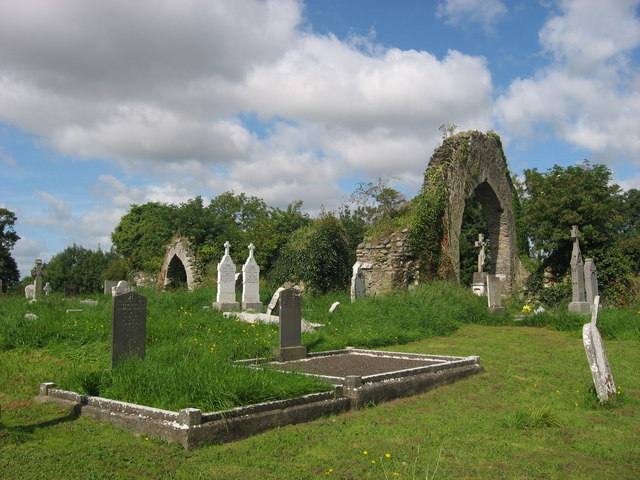 Church (in Ruins)Church · 17 yd
 CrossCross, Wayside cross · 707 yd
 Battle of Julianstownbattle · 1162 yd
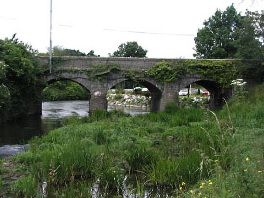 bridgebridge · 1266 yd
 Enclosure in LisdornanEnclosure · 1379 yd
 Ballygarth CastleCastle · 1757 yd
 MoatCastle, motte · 1.0 mi
 SycamoreSycamore · 2.4 mi
 European YewEuropean Yew · 2.6 mi
 Clonard SpringSpring · 4.6 mi
 Beaulieu House and GardensHeritage attraction · 4.7 mi
 Newgrange Business ParkMemorial · 5.0 mi