
What is recorded here
Indicated is a stone ringfort in County Cavan where a substantial rampart still surrounds a raised circular area, though human hands have partly modernised its base into a field boundary. At its centre lies a cobblestone pad large enough for a haystack or something older, while a sweathouse waits at the south edge to mark the site as a living cache rather than a dead ruin. The fort never appeared on early maps, suggesting it belonged more to memory and local use than to official record.
Not marked on OS 1836 or 1876 eds. Raised circular area (int. diam. 23.2m) enclosed by the base of a substantial stone rampart (original Wth 3.9m) which has been partly modernised and incorporated into the field boundary. Richardson (1938, 20) recorded an entrance feature (Wth 0.9m) at S. At the centre of the internal area is a roughly circular area (diam. 4.6m) paved with cobblestones. Richardson (ibid.) suggested that this 'may be the recent foundation for a haystack'. Also Within the internal area at S is a sweathouse (CV004-015002-)
The above description is derived from the published 'Archaeological Inventory of County Cavan' (Dublin: Stationery Office, 1995). In certain instances the entries have been revised and updated in the light of recent research.
Date of upload/revision: 22 December 2008
The monument record does not grant public access. Check the route and ask the landowner before entering private land.
- What survives
- Recorded monument
Places near here
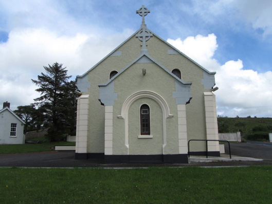 St Felim’s Roman Catholic Churchchurch/chapel · 970 yd
 Sweat Ho.Sweathouse · 1099 yd
 Enclosure in LegeelanEnclosure · 1174 yd
 Legnashinna CavernCave · 1.1 mi
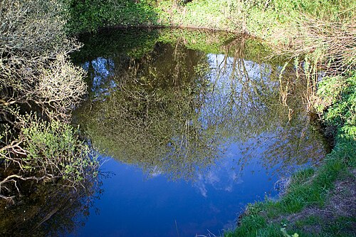 Shannon PotSpring · 1.1 mi
 CavernCave · 1.3 mi
 Cavan BurrenHeritage attraction · 1.4 mi
 BurrenMountain / peak · 1.4 mi
 Boulder GraveyardArchaeological place · 1.6 mi
 BarranMountain / peak · 1.9 mi
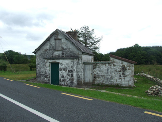 worker's houseworker's house · 2.2 mi
 Marlbank ViewpointViewpoint · 2.8 mi
Other information
Photo: Credit not shown in the picture search · Rights wording not checked; contact us if this picture should be removed