
What is recorded here
'This unusual site comprised of a large bank which encloses a roughly rectangular area on three sides, the fourth side being defined by a farm track. The interior of the site appears to be generally lower than the external ground level, suggesting the bank material may have been excavated from the interior. The enclosed area measures 25.2m N-S by 7m E-W. The large flat-topped bank appears to be mostly comprised of earth, though some stones are visible also. The bank is between 1.3m and 2m high internally, between 0.95m and 1.7m high externally, and between 4.3m and 5.1m wide. There is evidence of a stone revetment on the south side of the bank exterior and there is also some evidence of a fosse or drain outside the bank at ths location. The interior of the enclosure slopes to the south and the south end is prone to flooding. The precise function of this site is unclear and it is possible that it is not an antiquity, but is has been included owing to its interesting morphology.'
The above description is derived from R. Sherlock, Northwest Co. Cavan Survey. An archaeological survey of northwest Cavan: the other Burren (2007), p. 168.
Date of upload: 15 November 2012
A local fairy fort (ringfort/rath); wider significance not recorded.
The monument record does not grant public access. Check the route and ask the landowner before entering private land.
- What survives
- Recorded monument
Places near here
 Sweat Ho.Sweathouse · 152 yd
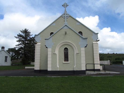 St Felim’s Roman Catholic Churchchurch/chapel · 647 yd
 IndicatedFairy fort / stone ringfort · 765 yd
 Cavan BurrenHeritage attraction · 1348 yd
 Dolines/SinkholesCave · 1356 yd
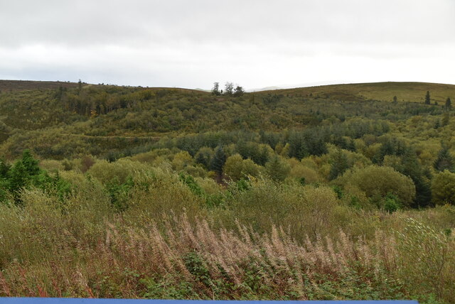 Cavan Burren ParkForest · 1370 yd
 BurrenMountain / peak · 1420 yd
 Boulder GraveyardArchaeological place · 1681 yd
 Legnaveagh SinkholeCave · 1.1 mi
 CullentraghMountain / peak · 1.7 mi
 Marlbank ViewpointViewpoint · 2.1 mi
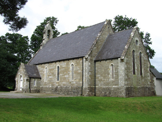 Killinagh Churchchurch/chapel · 2.1 mi
Other information
Photo: Credit not shown in the picture search · Rights wording not checked; contact us if this picture should be removed