What is recorded here
Indicated is a lost church enclosure in County Galway, marked on the first Ordnance Survey map as a broad rectangular grassland south of a townland boundary. A faint bank still curves from southeast through south to west beneath the graveyard wall, while the northwest edge survives only as a slight rise in the field. The church is gone, but the ground keeps its shape, holding a worship space that people may have walked through for generations before the wall took its place.
In low-lying grassland SW of a stream. Marked on 1st ed. of OS 6-inch map as a subrectangular enclosure (E-W c. 90m, N-S c. 80m) on S boundary of the td. Traces of a bank are still visible beneath the td. boundary wall which coincides here with the graveyard wall. This bank can be traced in an arc curving from SE through S to W. Its line is also visible at NW as a slight rise in the field level but no visible surface traces survive elsewhere. A church (GA001-044002-) stood within the interior.
The above description is derived from the published 'Archaeological Inventory of County Galway Vol. II - North Galway'. Compiled by Olive Alcock, Kathy de hÓra and Paul Gosling (Dublin: Stationery Office, 1999).
Date of upload: 05 August 2010
The monument record does not grant public access. Check the route and ask the landowner before entering private land.
- What survives
- Recorded monument
Places near here
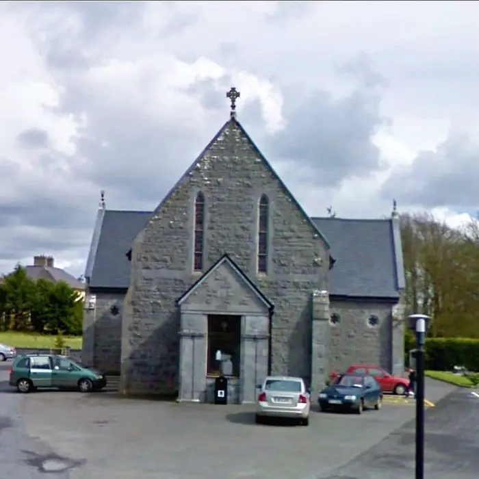 Church (in ruins)Church · 29 yd
 CastleCastle, unclassified · 1.1 mi
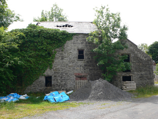 Clough Millmill (water) · 1.2 mi
 Enclosure in Moneen (island Ed)Enclosure · 1.5 mi
 Enclosure in Ballaghaugeag WestEnclosure · 2.1 mi
 Site of Ballyglass CastleCastle, unclassified · 2.5 mi
 Coolougher WoodForest · 3.2 mi
 Rook HillMountain / peak · 3.3 mi
 Workhouse MemorialMemorial · 4.8 mi
 Silver IslandIslet · 5.2 mi
 Site of Killomaine Grave YardArchaeological place · 5.5 mi
 Slieve DartMountain / peak · 7.0 mi