What is recorded here
Indicated was a D-shaped ringfort in North Galway pastureland, measured fifty metres north to south and thirty-five east to west before disappearance. Its straight western edge followed a laneway while deciduous trees filled the interior, suggesting a landscaped demesne feature rather than a forgotten ruin. The nearby underground passage implies human construction, yet no surface trace remains for inspection.
In level pastureland, formerly demesne land. Marked on 3rd ed. of OS 6-inch map (1932) as a roughly D-shaped enclosure (N-S c. 50m, E-W c. 35m), its straight W side formed by a laneway. The interior is shown planted with deciduous trees. No visible surface trace survives. Possibly a landscape feature associated with the nearby Vermont House but its association with a probable Man-made underground passage (GA059-056001-) would suggest that it was a landscaped ringfort.
The above description is derived from the published 'Archaeological Inventory of County Galway Vol. II - North Galway'. Compiled by Olive Alcock, Kathy de hÓra and Paul Gosling (Dublin: Stationery Office, 1999).
Date of upload: 05 August 2010
The monument record does not grant public access. Check the route and ask the landowner before entering private land.
- What survives
- Recorded monument
Places near here
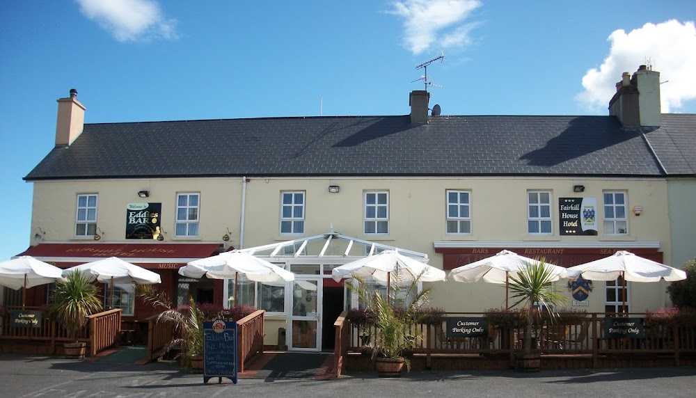 Enclosure in FairhillEnclosure · 1118 yd
 Menlough IRAMemorial · 1565 yd
 R. C. Chapel and School Ho.Chapel · 1610 yd
 R. C. ChapelChurch · 1.1 mi
 IndicatedHoly well · 1.6 mi
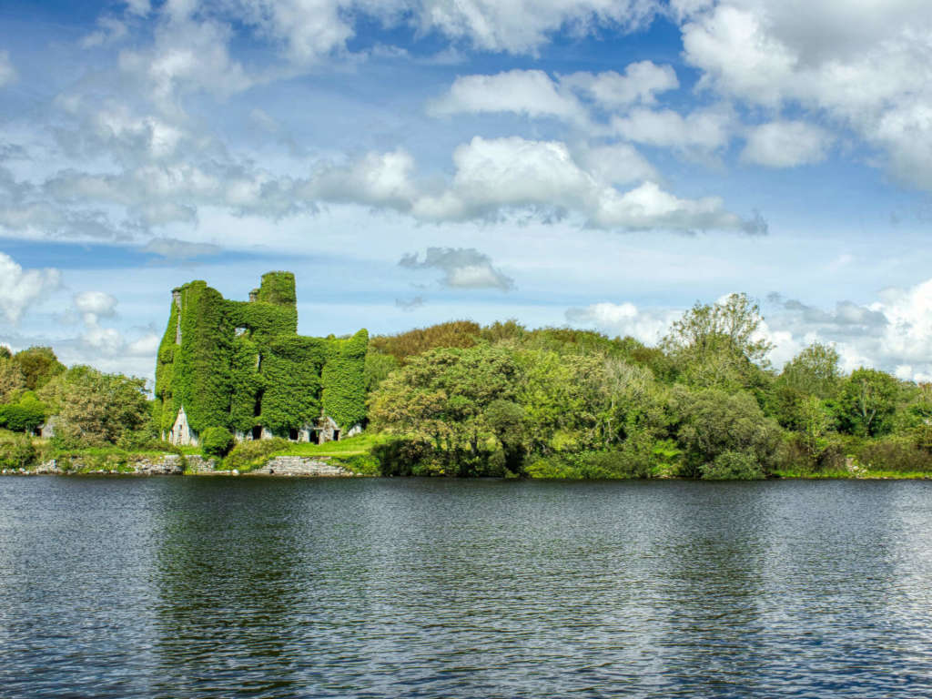 Castle BellewArchaeological place · 3.1 mi
 SycamoreSycamore · 3.2 mi
 Castle (Site of)Castle, unclassified · 3.2 mi
 Mountbellew ForestForest · 3.3 mi
 Knockmoy AbbeyHeritage attraction · 8.0 mi
 Kilconnell AbbeyHeritage attraction · 8.7 mi
 Battle of Aughrim Interpretative CentreMuseum · 13 mi