What is recorded here
Marked only on the 1839 ed. of the OS 6-inch map as a circular enclosure (diam. c. 55m) with trees on the perimeter. It is situated in a low-lying landscape in full view of St Austin's House, which is c. 300m to the N. It is not visible at ground level in pasture.
Compiled by: Michael Moore
Date of upload: 14 February, 2012
The monument record does not grant public access. Check the route and ask the landowner before entering private land.
- What survives
- Recorded monument
Places near here
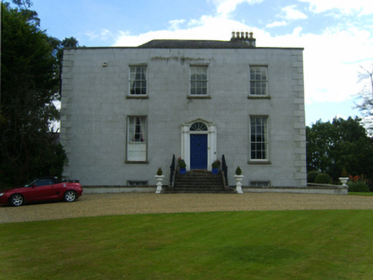 Saint Austin's Housecountry house · 333 yd
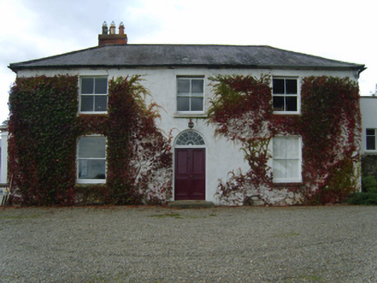 Knockbawnfarm house · 863 yd
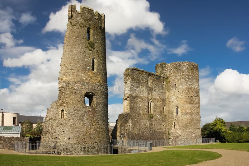 site of Fort and CastleFortification · 902 yd
 CastleCastle, unclassified · 1042 yd
 Concentric enclosure in Coolgreany DemesneConcentric enclosure · 1297 yd
 Ballyfad WoodWood · 1.2 mi
 Curragh WoodWood · 1.9 mi
 White Heaps 1798Memorial · 3.2 mi
 Tara HillMountain / peak · 3.7 mi
 Arklow RockMountain / peak · 3.8 mi
 Clogga StrandBeach / strand · 3.9 mi
 Nuns BeachBeach / strand · 4.1 mi