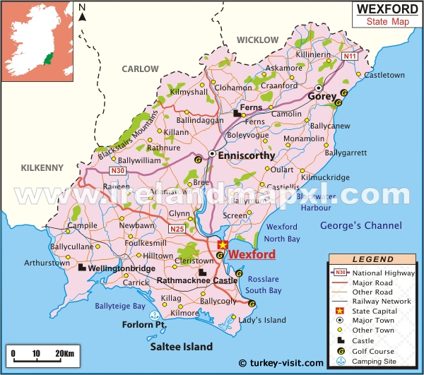
What is recorded here
Located towards the top of the W-facing slope of a N-S ridge, with the N-S Urrin River c. 300m to the W. The moat of the circular moated site (WX014-022001-) is filled in E-SSW where the old Duffry Hall (WX014-022002-) was built on its outer edge. One masonry wall survives (L 9.8m E-W; T 0.6m; max. H c. 5m) with a doorway (Wth 1.2m) that has narrow windows on either side. There is a granite string course at the top of the wall on the S side. It is probably 18th century in date.
Compiled by: Michael Moore
Date of upload: 26 April, 2012
The monument record does not grant public access. Check the route and ask the landowner before entering private land.
- What survives
- Recorded monument
Places near here
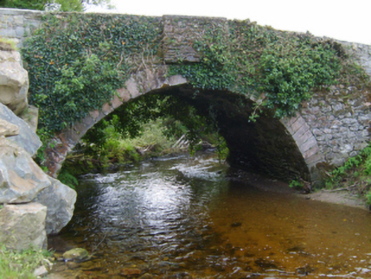 Mocurry Bridgebridge · 391 yd
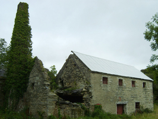 mill (water)mill (water) · 741 yd
 Embanked enclosureFairy fort / ringfort · 964 yd
 St. Doran's WellArchaeological place · 1.8 mi
 Clorogue BegMountain / peak · 2.7 mi
 1798 MemorialMemorial · 3.0 mi
 Pedunculate OakPedunculate Oak · 3.4 mi
 KnockroeMountain / peak · 3.6 mi
 Killoughrum ForestForest · 3.6 mi
 Mount LeinsterMountain · 4.5 mi
 Irish Hangliding and Paragliding AssociationMemorial · 4.6 mi
 Clohamon Castle (in ruins)Castle, unclassified · 6.4 mi
Other information
Photo: Credit not shown in the picture search · Rights wording not checked; contact us if this picture should be removed