What is recorded here
Midway down a gentle NE-facing slope, on the E bank of the River Nore, in an area of undulating pasture. There are fine views from W-N-SE, otherwise views are limited by rising ground. This may be the 12th/13th-century castle of Tullabarry mentioned by Carrigan (1905, vol. 2, 87). A large pudding-bowl-shaped mound (diam. at base c. 50m; diam. at summit 19.4m N-S; H above fosse at SE c. 5.5m) composed of sand, gravel and water-rolled stones, enclosed by the remains of a fosse (max. Wth 4.5m; D below field level 1.8m) and counterscarp bank. It is overgrown with ivy, hawthorn and brambles and has been dug into on the SE face near the summit. The surface of the summit has been denuded and slopes gently along the W side, from S-N. The fosse is best preserved from SE-S-SW and has been infilled from NE-SE. An old mill stream flowing into the River Nore skirts the base of the mound from NW-N.
This monument is subject to a preservation order made under the National Monuments Acts 1930 to 2014 (PO no. 5/1983).
Compiled by: Jean Farrelly
Date of upload: 8 May 2017
Moatpark was likely built in the 12th or 13th century, though the specific builder is not recorded; its strategic position on the River Nore made it an important defensive and administrative site for local lords.
The monument record does not grant public access. Check the route and ask the landowner before entering private land.
- What survives
- Recorded monument
Places near here
 CastleCastle, unclassified · 2 yd
 Moat Castle (site of)Archaeological place · 10 yd
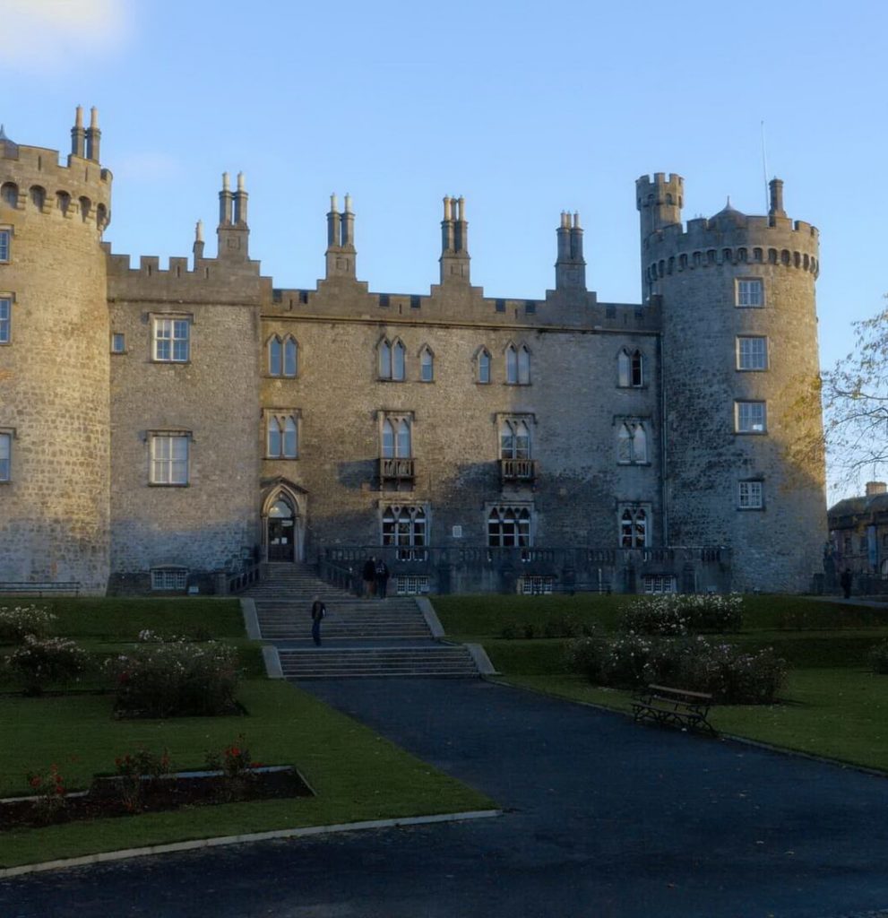 Enclosure in BallyconraEnclosure · 372 yd
 Ballyconra Hall (site of)Archaeological place · 646 yd
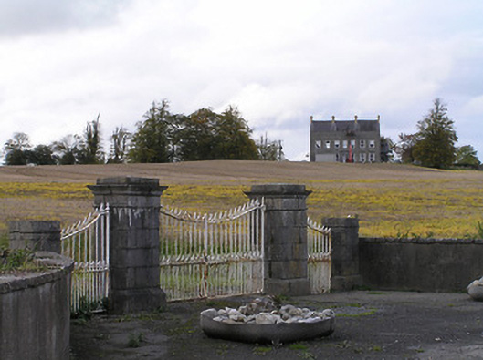 Ballyconra Housegates/railings/walls · 1237 yd
 Anker's IslandIsland · 1539 yd
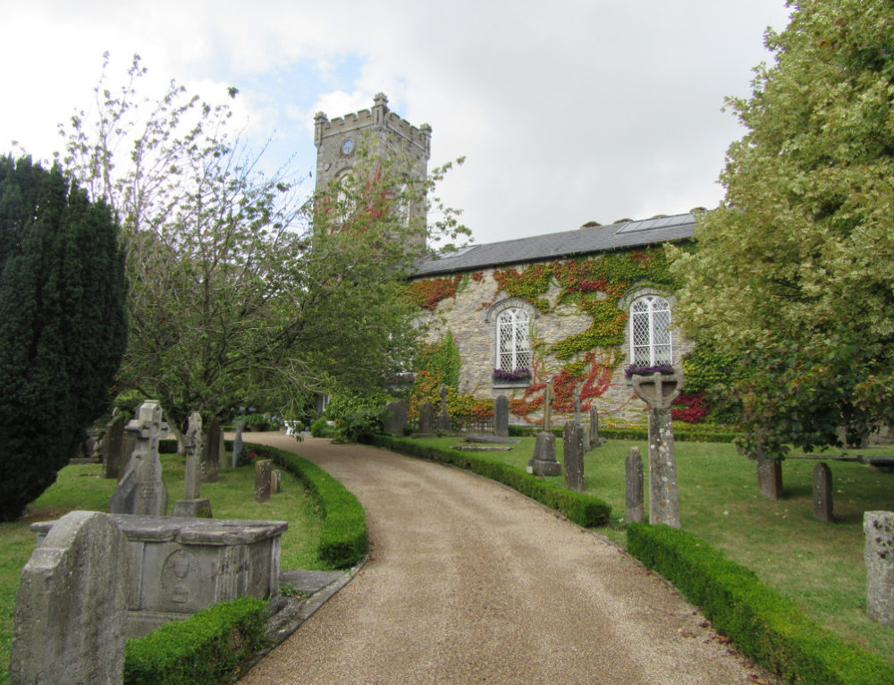 Church in BallyconraChurch · 1546 yd
 Graveyard in SraleaghGraveyard · 1645 yd
 Donaghmore WellSpring · 1.9 mi
 1798 MonumentMemorial · 5.0 mi
 Jenkinstown ParkWood · 5.4 mi
 Red horse-chestnutRed horse-chestnut · 5.5 mi