
What is recorded here
In low-lying marshy pastureland. Poorly preserved oval enclosure (E-W 42.5m; N-S 38m) defined by an earthen tree-lined bank and external fosse from WSW to NNW; the latter is traceable only as a faint depression elsewhere. The interior rises c. 1.5m to the centre. Its location and proximity to Moycullen Lodge are indicative of a landscape feature, but the morphology suggests that it may be a landscaped archaeological monument.
The above description is derived from the published 'Archaeological Inventory of County Galway Vol. I - West Galway'. Compiled by Paul Gosling (Dublin: Stationery Office, 1993).
Date of upload: 05 August 2010
The monument record does not grant public access. Check the route and ask the landowner before entering private land.
- What survives
- Recorded monument
Places near here
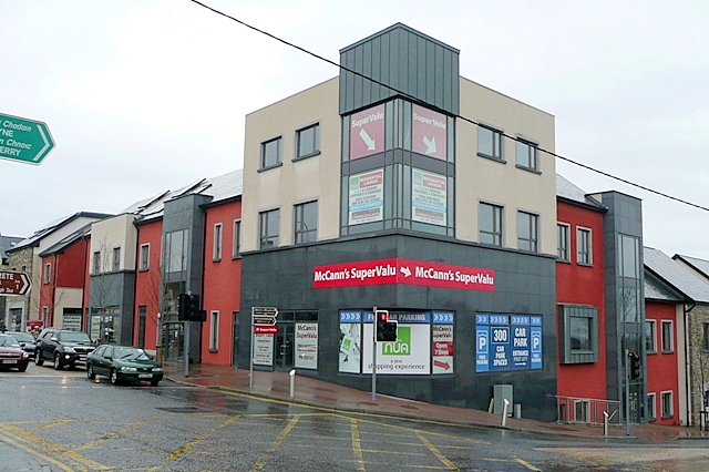 CastleCastle, unclassified · 178 yd
 Moycullen Church (in ruins)Church · 362 yd
 St. Patricks WellHoly well · 1516 yd
 Man-made underground passage in BallynahalliaMan-made underground passage · 1627 yd
 Eaglais Chaitliceach an Choincheapa gan Smál [Catholic Church of the Immaculate Conception]church/chapel · 1695 yd
 Galway Cakery CaféHeritage attraction · 1.2 mi
 Connemara MarbleHeritage attraction · 1.3 mi
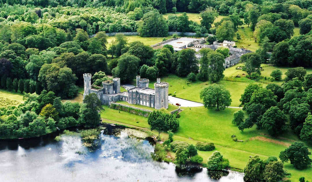 Two Sisters Castles (in ruins)Castle, tower house · 2.2 mi
 IllaunnashinnaghIslet · 3.0 mi
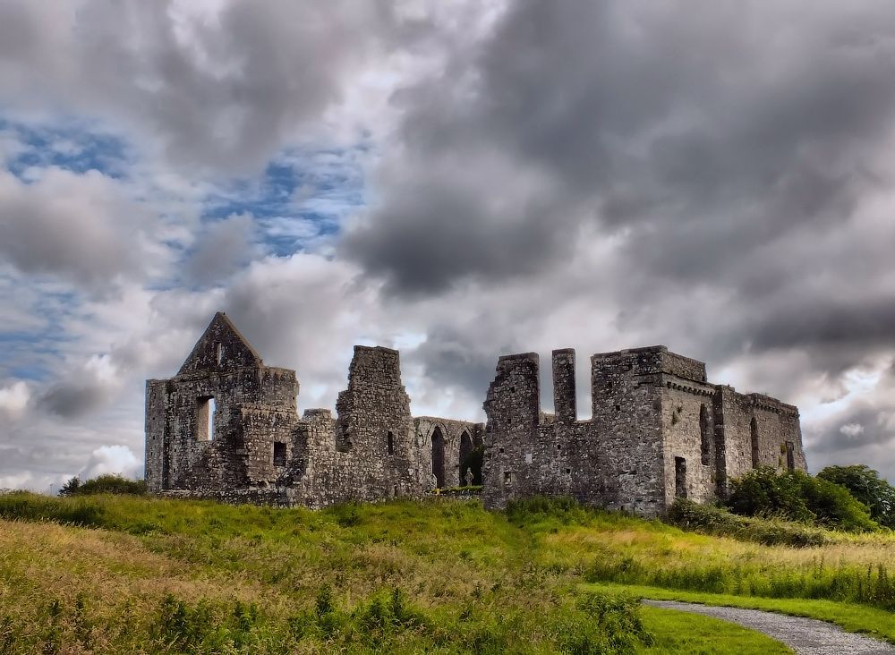 Cnoc an Bhaile NuaMountain / peak · 3.0 mi
 Gurlaun IslandIslet · 3.2 mi
 Annagh WoodWood · 3.9 mi
Other information
Photo: Credit not shown in the picture search · Rights wording not checked; contact us if this picture should be removed