What is recorded here
Indicated is a buried stone ringfort on a SE-facing slope in County Leitrim, its original entrance lost beneath grass, rush and an overgrown field wall. The circle measures almost thirty metres across, large enough for a small village or a much larger fantasy. People may have lived there, herded animals there or simply walked past it, but the fort no longer gives back its name or purpose.
Located just off the outer edge of a shelf on a SE-facing slope with a small NW-SE stream c. 25m tot he NE. This is a grass and rush-covered circular area (int. diam. 30.6m E-W; 28.9m N-S) defined by an overgrown stone spread (Wth 2.5-5m; max. int. H 0.4m; max. ext. H 1m), with a field wall on top of it SW-N-NE. The original entrance is not identified.
The above description is derived from 'The Archaeological Inventory of County Leitrim' compiled by Michael J. Moore (Dublin: Stationery Office, 2003). In certain instances the entries have been revised and updated in the light of recent research.
Date of upload: 23 September 2008
The monument record does not grant public access. Check the route and ask the landowner before entering private land.
- What survives
- Recorded monument
Places near here
 IndicatedFairy fort / stone ringfort · 227 yd
 Sweat Ho.Sweathouse · 438 yd
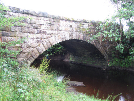 New Bridgebridge · 1405 yd
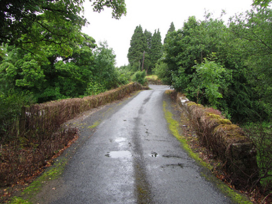 Old Bridgebridge · 1534 yd
 Forde's CastleCastle · 1.6 mi
 ArdlougherMountain / peak · 1.7 mi
 Gull RockIslet · 1.7 mi
 Gull IslandIslet · 1.8 mi
 Republican Garden of RemembranceMemorial · 2.0 mi
 Corrard ForestForest · 2.8 mi
 Black PoplarBlack Poplar · 3.0 mi
 CarrickbrannanMountain / peak · 3.0 mi