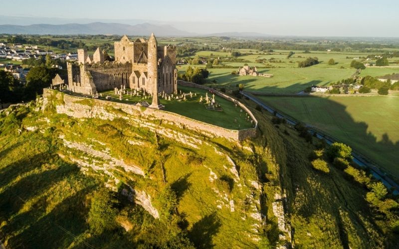
What is recorded here
On a NNW-facing slope in undulating terrain, Lyre Glen runs c. 20-30m to the W. A roughly circular ringfort (diam. 38.5m N-S; E-W based on OS 6-inch map is c. 30m) enclosed by an earthen bank (Wth 1.8m; int. H 1m; ext. H 0.2m) with a high stone content and evidence of a stone revettment. In the W quadrant the bank is reduced to scarp (H c. 3m). The monument is known locally as the 'Lis'. The ringfort is heavily overgrown with scrub both on the banks and in the interior. There is a gap in the bank in the SSW quadrant.
Compiled by: Jean Farrelly
Date of upload: 26 August 2011
A local fairy fort (ringfort/rath); wider significance not recorded.
The monument record does not grant public access. Check the route and ask the landowner before entering private land.
- What survives
- Recorded monument
Places near here
 Dungrot Bridgebridge · 972 yd
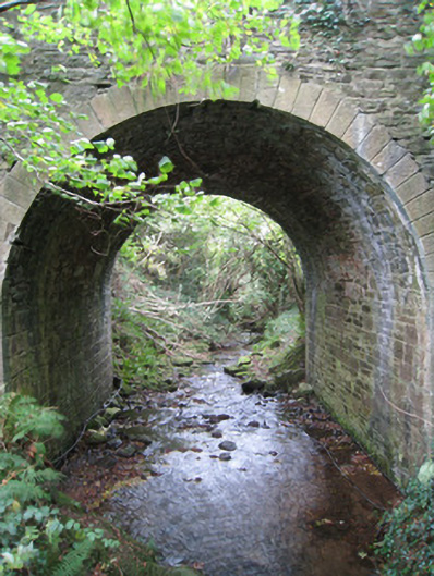 Longford Bridgebridge · 1010 yd
 Site of Dungrot CastleCastle, unclassified · 1030 yd
 CurraghMountain / peak · 1073 yd
 CairnCairn, unclassified · 1242 yd
 Knockanebrack HillMountain / peak · 1297 yd
 Giant's Rock - Rock of AglaishNamed rock · 1440 yd
 KyleEnclosure · 1.1 mi
 Noel's NippleNamed rock · 1.4 mi
 Lough CurraWalking route · 1.7 mi
 Ballynacourty HouseCastle, unclassified · 2.1 mi
 Assaroula WaterfallWaterfall · 2.2 mi
Other information
Photo: Credit not shown in the picture search · Rights wording not checked; contact us if this picture should be removed