What is recorded here
The fairy fort or stone ringfort in Lugnamackan is in County Sligo, Ireland. A collapsed stone wall defines the northwest and south-southwest perimeter, while field clearance stones and timber are piled onto the wall at the northwest. The entrance is at the east-southeast, and a gap appears at the north-northwest. The interior slopes down to the south, where the ground falls away steeply immediately outside the cashel perimeter.
In pasture, near the top of a gentle S-facing slope and conjoined to another cashel (SL020-197006-) at NE. A roughly circular area (int. diam. c. 30m) defined NW-SSW by a collapsed stone wall (Wth 3.6m; int. H 0.2m; ext. H 0.3m), covered with overgrowth; the wall has been removed elsewhere. Stone facing is evident along the inner face of the wall for c. 5m at N. At NW, for c. 12m, field clearance stones and timber have been piled onto the cashel wall. The entrance (Wth 1.8m) is at ESE and there is a gap (Wth 3.8m) at NNW. The interior is under pasture and slopes down to S where the ground falls away steeply immediately outside the perimeter of the cashel. There is no direct access from the interior to the adjoining cashel (SL020-197006-).
The above description is derived from the published 'Archaeological Inventory of County Sligo' compiled by Ursula Egan, Elizabeth Byrne, Mary Sleeman with Sheila Ronan and Connie Murphy (Dublin Stationery Office, 2005).
Date of upload: 18 January 2008
This remains an important historical record, but the official description says the monument is no longer visible or has been destroyed. The monument record does not grant public access. Check the route and ask the landowner before entering private land.
- What survives
- No visible remains or recorded as destroyed
Places near here
 IndicatedEnclosure · 160 yd
 Enclosure in BleachgreenEnclosure · 959 yd
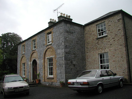 Glebe Houserectory/glebe/vicarage/curate's house · 974 yd
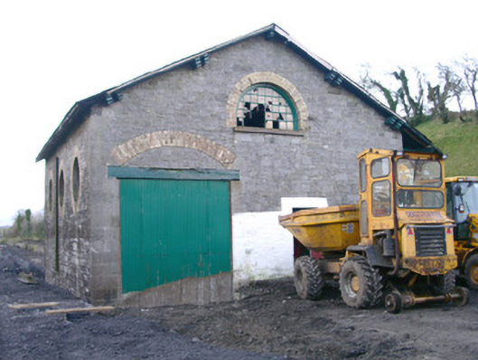 Collooney Railway Stationstore/warehouse · 1046 yd
 Teeling MonumentMemorial · 1179 yd
 Battle of Collooneybattle · 1189 yd
 BunreecoillMountain / peak · 1272 yd
 SlievewardMountain / peak · 1.1 mi
 Union RockForest · 1.6 mi
 European ashEuropean ash · 1.6 mi
 Castle (Site of)Castle, unclassified · 1.7 mi
 CastleCastle, unclassified · 1.8 mi