What is recorded here
In partially reclaimed pasture, on a S-facing slope. Indicated on the 1838 OS 6-inch map as the most central (diam. c. 10m) of three small conjoined circular enclosures (see SL020-197002- and SL020-197004-). It is not visible at ground level. The area is densely covered with overgrowth. Noted by Wood-Martin (1882, 21) as one of three raths 'forming a cable-chain pattern'.
The above description is derived from the published 'Archaeological Inventory of County Sligo' compiled by Ursula Egan, Elizabeth Byrne, Mary Sleeman with Sheila Ronan and Connie Murphy (Dublin Stationery Office, 2005).
Date of upload: 18 January 2008
Lugnamackan is a small early-medieval ringfort, likely dating to between the 6th and 10th centuries, situated in a group of three conjoined enclosures. Local tradition associates such sites with fairy dwellings, and they were often avoided due to beliefs in supernatural inhabitants.
The monument record does not grant public access. Check the route and ask the landowner before entering private land.
- What survives
- Recorded monument
Places near here
 IndicatedEnclosure · 141 yd
 Enclosure in BleachgreenEnclosure · 996 yd
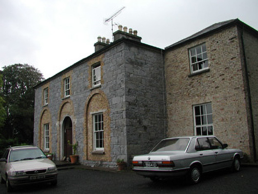 Glebe Houserectory/glebe/vicarage/curate's house · 1007 yd
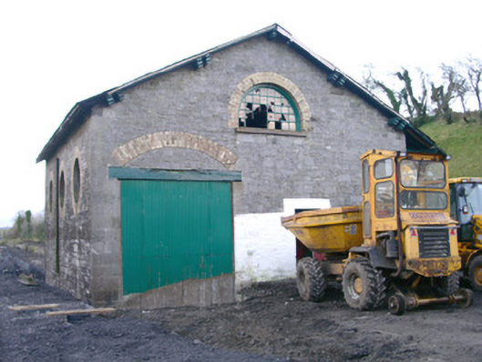 Collooney Railway Stationstore/warehouse · 1084 yd
 Teeling MonumentMemorial · 1214 yd
 Battle of Collooneybattle · 1224 yd
 BunreecoillMountain / peak · 1235 yd
 SlievewardMountain / peak · 1.1 mi
 Union RockForest · 1.6 mi
 European ashEuropean ash · 1.6 mi
 Castle (Site of)Castle, unclassified · 1.7 mi
 CastleCastle, unclassified · 1.8 mi