
What is recorded here
Indicated is a ring-barrow on Saggart Hill where two cremations rest above a forgotten village and a timber sanctuary. The dead were placed over living houses, suggesting memory itself was built in layers. Furze and shadow have since swallowed the markers, leaving only the hill to hold what the people believed worth repeating.
Located in a forest clearing on the upper E-facing slopes of Saggart Hill immediately above the Slade Valley and overlooking the Verschoyles Hills (Kilbride-Jones 1950, 313-32). Prior to excavation of the site in the 1940s the site comprised a central mound (Wth 8.4m; H 1.2m) defined by a fosse (Wth 3.2m; D 0.7m), a bank (Wth 2m; H 0.75m) and an external v-shaped fosse (Wth 2.25m; D 0.84m; overall diam.41m). Both fosses had an outer retaining wall. Excavation revealed that the central mound covered two burials, both cremations, which were laid directly on a clay surface accompanied by Early Iron Age pottery. This composite site had been constructed over a habitation site and a timber structure referred to as a 'Sanctuary site' by the excavator. The habitation site consisted of five hut sites and a single communal fireplace. The 'Sanctuary site' was represented by three fireplaces and a total of 160 post-holes forming no clear pattern. The site is very overgrown with furze and regenerating trees.
Compiled by: Geraldine Stout and Padraig Clancy
Revised upload on: 6 July 2018
A portal dolmen dating to the Neolithic period; its location suggests it was part of a broader ritual landscape associated with early farming communities in the region.
The monument record does not grant public access. Check the route and ask the landowner before entering private land.
- What survives
- Recorded monument
Places near here
 CairnCairn, unclassified · 313 yd
 Bridge in Lugg,sladeBridge · 635 yd
 BarrowBarrow, ring-barrow · 811 yd
 Verschoyle's HillMountain / peak · 1152 yd
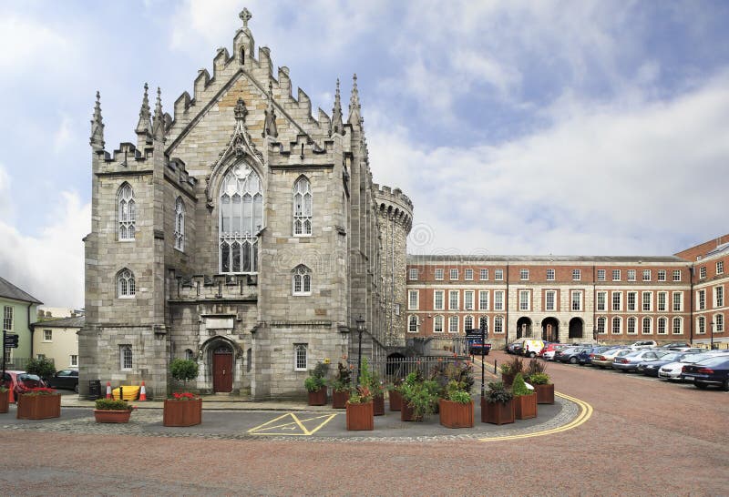 Chapel in Coolmine (newcastle By.)Chapel · 1301 yd
 Rathcoole WoodlandWood · 1.1 mi
 Saggart HillMountain / peak · 1.4 mi
 Meadow WildlifeVisitor information · 1.5 mi
 Inniscara GalleryGallery · 1.6 mi
 CastleCastle, tower house · 1.7 mi
 Colmanstown Castle (in ruins)Castle, tower house · 2.6 mi
 Early Stadium DesignHeritage attraction · 3.0 mi
Other information
Photo: Credit not shown in the picture search · Rights wording not checked; contact us if this picture should be removed