
What is recorded here
In pasture, in an area of sharply undulating stony terrain, located on the E edge of a natural terrace with ground falling away to NE-E. A roughly circular area (int. diam. 23.2m N-S; 26.1m E-W) is enclosed by a ruined drystone wall of rough rounded stones. The enclosure coincides with a natural terrace so that the interior in the W half is level with external ground level but at NE-SE, the perimeter is marked by an abrupt drop of c. 2m in exterior ground level. At N-S the enclosing wall is reduced to a low, moss-covered stone bank (Wth 1.8m; int. H 0.5m), which tops the natural scarp (ext. H 2.2m at E). At S-NW the wall appears as a broad, low jumble (Wth c. 2m; int. H 0.5m; ext. H c. 0.5-0.6m) of moss-covered stones. The NW-N edge of the enclosure is incorporated into a linear field wall, also dilapidated. The interior is level and grassy. Hawthorn and hazel scrub, and clumps of brambles ring the perimeter.
Compiled by: Jane O'Shaughnessy
Date of upload: 12 May 2011
A local fairy fort (ringfort/rath); wider significance not recorded.
The monument record does not grant public access. Check the route and ask the landowner before entering private land.
- What survives
- Recorded monument
Places near here
 Enclosure in LugbaunEnclosure · 136 yd
 Enclosure in LismacbryanEnclosure · 437 yd
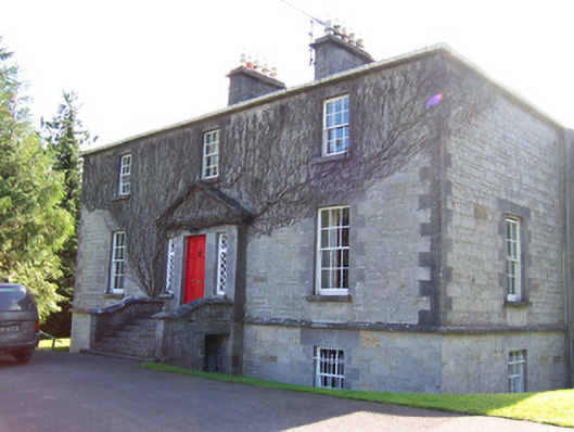 Toberfeckin Houserectory/glebe/vicarage/curate's house · 1197 yd
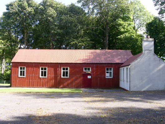 The Hallcommunity centre · 1642 yd
 European ashEuropean ash · 1.2 mi
 DoomoreMountain / peak · 1.5 mi
 Pigeonpark WoodForest · 1.6 mi
 Bawn in Longford DemesneBawn · 1.6 mi
 Bawn in Tanrego WestBawn · 1.6 mi
 Derinch PointHeadland · 1.9 mi
 Giant's GraveArchaeological place · 1.9 mi
 RinnatalleenHeadland · 2.2 mi
Other information
Photo: Credit not shown in the picture search · Rights wording not checked; contact us if this picture should be removed