
What is recorded here
In pasture, situated on the narrow E side of a N-S ridge. Not marked on any edition of the OS 6-inch map. Located 20m S of a possible barrow (SL019-154----). Squarish enclosure (27.6m E-W: 27.5m E-W) defined on N and W sides by linear field walls and at E and S by a low broadly curving scarp (H 0.8m) roughly faced at irregular intervals by stones. Immediately outside the scarp is a terrace (Wth 3-5m) with a scarped edge (H 0.5-1.2m) which was incorporated into a field wall, part of which still survives and is marked on the 1913 edition of the OS 6-inch map. Within the interior is a slight U-shaped rise (diam. 8m).
Compiled by: Patrick F. O'Donovan
Date of upload: 19 January 2011
The monument record does not grant public access. Check the route and ask the landowner before entering private land.
- What survives
- Recorded monument
Places near here
 IndicatedEnclosure · 437 yd
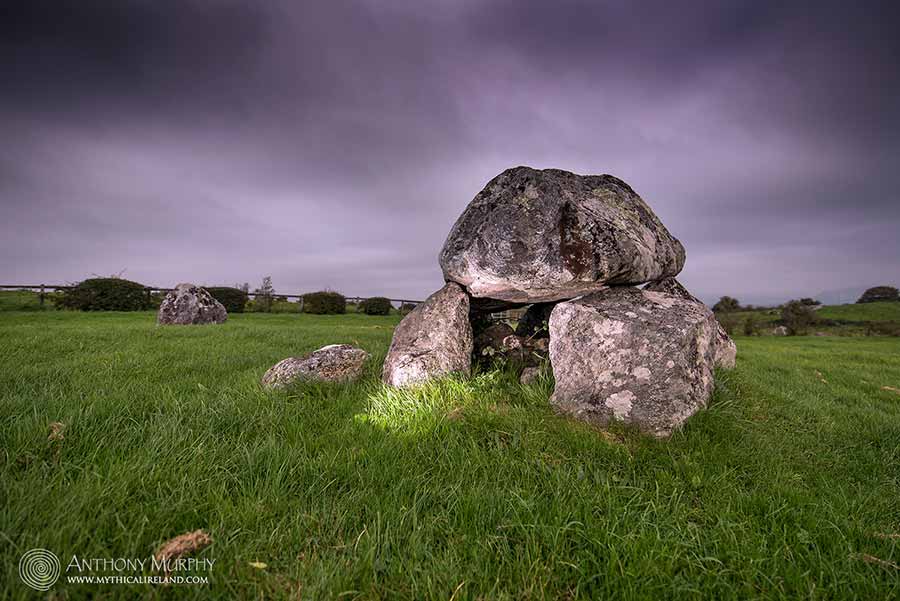 LisdooFairy fort / earthen ringfort · 641 yd
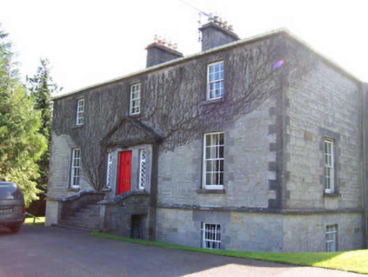 Toberfeckin Houserectory/glebe/vicarage/curate's house · 1261 yd
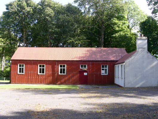 The Hallcommunity centre · 1544 yd
 European ashEuropean ash · 1697 yd
 Pigeonpark WoodForest · 1.4 mi
 Bawn in Longford DemesneBawn · 1.4 mi
 Bawn in Tanrego WestBawn · 1.6 mi
 Giant's GraveArchaeological place · 1.7 mi
 DoomoreMountain / peak · 1.8 mi
 Derinch PointHeadland · 2.0 mi
 Lahanacappul IslandIslet · 2.3 mi
Other information
Photo: Credit not shown in the picture search · Rights wording not checked; contact us if this picture should be removed