
What is recorded here
In pasture, situated on top of a prominent hillock with steeply sloping sides. The oval-shaped, flat top (27m WNW-ESE; c. 20m NNW-SSE) of the hillock may have been enclosed. The evidence is ephemeral and takes the form of a rough kerb of large stones and boulders along the N-NE edge, which can not be traced elsewhere. There is a large heap of field clearance debris on the S side of the level top, and loose field stones are scattered on the S and SE slopes. A rough farm track cuts across the S-SW side of the hillock.
Compiled by: Jane O'Shaughnessy
Date of upload: 12 May 2011
The monument record does not grant public access. Check the route and ask the landowner before entering private land.
- What survives
- Recorded monument
Places near here
 IndicatedEnclosure · 136 yd
 Enclosure in LismacbryanEnclosure · 461 yd
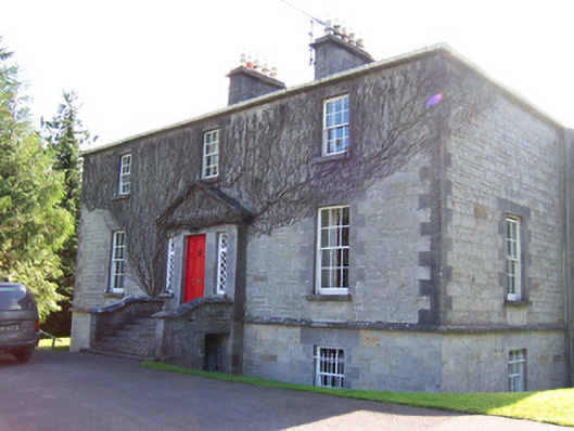 Toberfeckin Houserectory/glebe/vicarage/curate's house · 1061 yd
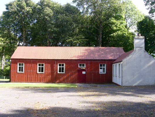 The Hallcommunity centre · 1516 yd
 European ashEuropean ash · 1.2 mi
 DoomoreMountain / peak · 1.5 mi
 Bawn in Tanrego WestBawn · 1.6 mi
 Pigeonpark WoodForest · 1.6 mi
 Bawn in Longford DemesneBawn · 1.7 mi
 Derinch PointHeadland · 1.8 mi
 Giant's GraveArchaeological place · 1.9 mi
 RinnatalleenHeadland · 2.1 mi
Other information
Photo: Credit not shown in the picture search · Rights wording not checked; contact us if this picture should be removed