
What is recorded here
Situated on a high natural ravine. The site is a broad oval area (c.55m NW-SE; 28m NE-SW) demarcated by a scarped bank (Wth 7m; H 2.2m) on ground that falls away to the SSW. There is a castellated entrance through the bank in the ENE. A Man-made underground passage (DU017-021002-) lies in the NW end of the interior (Anon., 1896, 421-2).
Compiled by: Geraldine Stout
Date of upload: 26 August 2011
A local fairy fort (ringfort/rath); wider significance not recorded.
The monument record does not grant public access. Check the route and ask the landowner before entering private land.
- What survives
- Recorded monument
Places near here
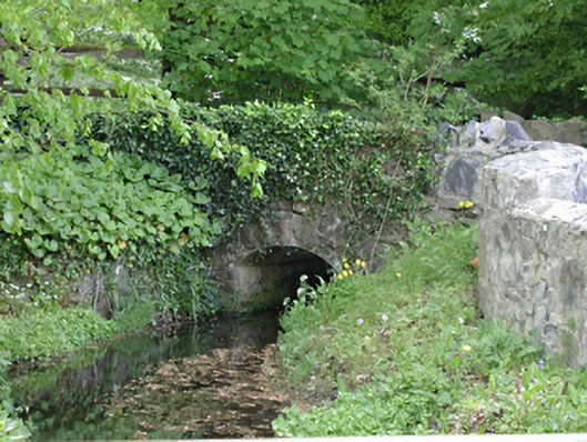 foot bridgefoot bridge · 50 yd
 Water millWater mill, unclassified · 116 yd
 Cross in Lucan AND Pettycanon,lucan DemesneCross · 305 yd
 LucanHistoric town · 323 yd
 Griffeen Valley WalkWalking route · 1478 yd
 Lucan DemenseHeritage attraction · 1635 yd
 Sli Na Sláinte Leixlip Lucan DesmenseWalking route · 1679 yd
 GinkgoGinkgo · 1.2 mi
 CastleCastle, unclassified · 1.5 mi
 Luttrellstown CastleCastle · 1.5 mi
 Giant SequoiaGiant Sequoia · 1.6 mi
 Guinness' BreweryMemorial · 1.7 mi
Other information
Photo: Credit not shown in the picture search · Rights wording not checked; contact us if this picture should be removed