
What is recorded here
Pettycanon, meaning small canon, suggests churchmen once owned the land before the cross marked the road. The 1699 map places it on a bend toward Cooldrinagh, opposite Lucan House, where travellers could see it from a distance. Helen Farrell believes a granite base with a round socket in the graveyard beside St. Mary's Church may be all that remains. The cross disappeared from the road but may still stand buried beneath the place where people once passed it.
According to Lewis (1837, 2, 322) a cross stood opposite the entrance to Lucan House. A map of Lucan (NLI MS 39/251/3) dating from 1699 shows the cross standing to the S of the 17th-century Lucan House (DU017-019008-) standing on a bend of the road leading to Cooldrinagh (the Long Acre) with the annotation 'Here is a Cross'. Today there are so surface remains visible of this cross. Local archaeologist Helen Farrell has identified a granite cross-base with small circular-shaped socket in the graveyard (DU017-019003-) to the W of St. Mary's Church (DU017-019002-) which may have belonged to the cross depicted on the 1699 map of Lucan.
NLI MS 39,251/3 National Library of Ireland, Original and copy title deeds to the lands of Pettycannon, outside Lucan, so called because originally they belonged to the Petty Canons and Choristers of St Patrick’s Cathedral, Dublin.
Compiled by: Geraldine Stout
Revised by: Caimin O'Brien based on details provided by Helen Farrell
Date of revised upload: 23 May 2023
The high cross at Lucan, possibly associated with the 17th-century Lucan House demesne, was likely erected in the late 17th century; its exact builder is unknown, but it may have been commissioned by the local landowning family. The cross is significant as a rare surviving example of a monumental cross in a historic estate setting, reflecting the religious and social landscape of the period.
The monument record does not grant public access. Check the route and ask the landowner before entering private land.
- What survives
- Recorded monument
Places near here
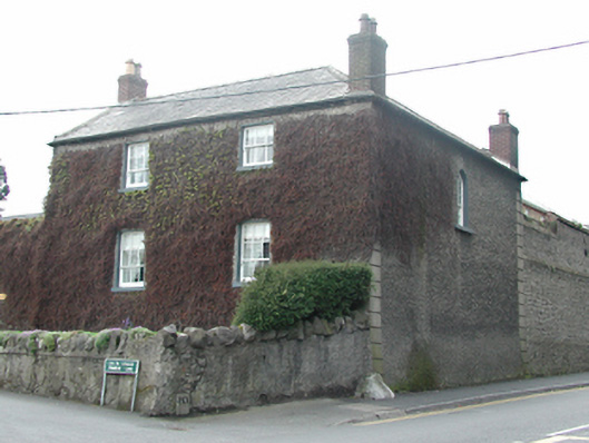 Gardenvillesteward's house · 18 yd
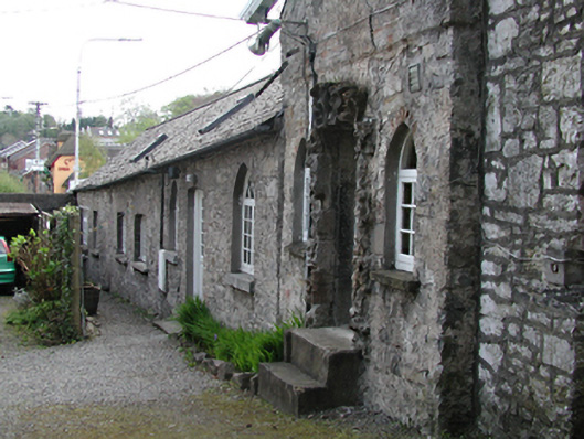 Lucan Houseworker's house · 33 yd
 Grave Yd.Graveyard · 102 yd
 LucanHistoric town · 156 yd
 Lucan DemenseHeritage attraction · 1338 yd
 Sli Na Sláinte Leixlip Lucan DesmenseWalking route · 1397 yd
 Griffeen Valley WalkWalking route · 1.0 mi
 The Pirate ShipHeritage attraction · 1.1 mi
 GinkgoGinkgo · 1.1 mi
 Luttrellstown CastleCastle · 1.5 mi
 CastleCastle, unclassified · 1.5 mi
 Guinness' BreweryMemorial · 1.5 mi
Other information
Photo: Credit not shown in the picture search · Rights wording not checked; contact us if this picture should be removed