What is recorded here
In pasture, on a very gentle N-facing slope. Sub-rectangular area (dims. 31m N-S; 29m E-W) defined by earth and stone bank (Wth 6.8m; int. H 0.75m; ext. H 1.4m). Bank (L 24m at N; L 33m at E; L 29m at S; L 30m at W) is reduced to scarp (Wth 4.5m; H 1.0m) midway along W-side. Possible entrance (Wth 2.5-3m) at S. External fosse (Wth 6m; D 0.45m) is well defined on E, S and W sides, infilled slightly to N due to past quarrying activities. Traces of outer bank (Wth 13.3m; int. H 0.7m; ext. H 0.25m) on S and W sides. Interior slopes downwards to N. Enclosure (TS069-039----) located 590m to ENE.
See attached photographs:
TS069-040----_01 Overview
TS069-040----_02 Fosse
TS069-040----_03 Bank and external fosse
TS069-040----_04 Interior from entrance
Compiled by: Jean Farrelly
Date of upload: 26 August 2011
The monument record does not grant public access. Check the route and ask the landowner before entering private land.
- What survives
- Recorded monument
Places near here
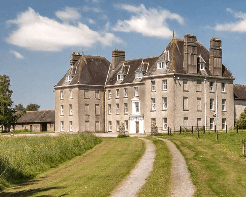 Enclosure in LowesgreenEnclosure · 1047 yd
 Kilbragh Church (in ruins)Church · 1089 yd
 Enclosure in RosegreenEnclosure · 1188 yd
 Castle (Site of)Castle, unclassified · 1255 yd
 CastleCastle, ringwork and bailey · 1450 yd
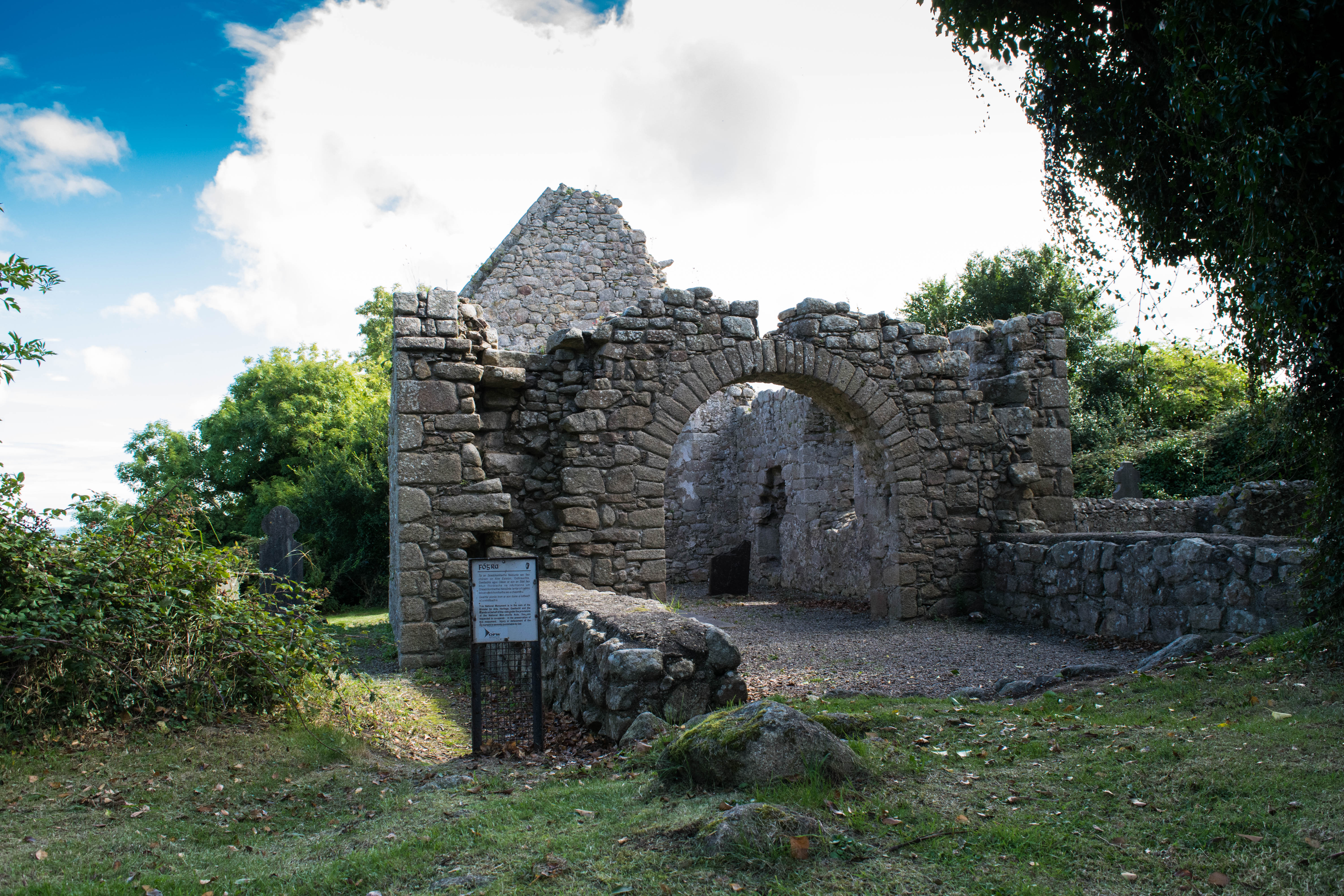 Tullamain Church (in ruins)Church · 1.0 mi
 European YewEuropean Yew · 4.7 mi
 Cashel Folk MusuemMuseum · 4.8 mi
 Black mulberryBlack mulberry · 4.8 mi
 The Rock Of CashelVisitor information · 4.9 mi
 Cormac's ChapelHeritage attraction · 5.0 mi
 Ballyknock HillMountain / peak · 5.1 mi