What is recorded here
In hilly pastureland. A hachured feature marked on the 1920 edition of the OS 6-inch map proved on inspection in 1983 to be a disused gravel pit defined by an irregular depression. As it is of post-AD 1700 date it does not come within the remit of the Archaeological Survey of Ireland.
Compiled by: Olive Alcock
Date of upload: 14 August 2014
The monument record does not grant public access. Check the route and ask the landowner before entering private land.
- What survives
- Recorded monument
Places near here
 IndicatedEnclosure · 320 yd
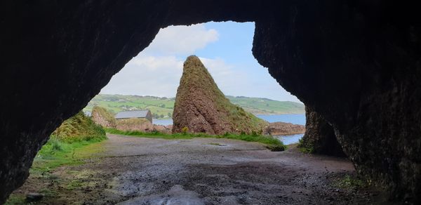 CavesMan-made underground passage · 367 yd
 Ballycorban Ho.House, 18th/19th century · 672 yd
 Saint Joseph's Catholic Churchchurch/chapel · 760 yd
 Coolfin Castle (in ruins)Castle, tower house · 3.3 mi
 Site of CastleCastle, unclassified · 3.7 mi
 Oak WoodForest · 4.6 mi
 Bog WoodForest · 4.8 mi
 TullymoreMountain / peak · 4.9 mi
 Maguire SistersMemorial · 6.1 mi
 Friar's IslandIslet · 6.5 mi
 Abbey IslandIslet · 6.5 mi