What is recorded here
Possible small enclosure or cashel that is indicated on the OS 6-inch map may be the remains of a small early-Christian ecclesiastical enclosure. According to the Archaeological Survey of Ireland files this site was inspected by Liam de Paor in 1977 and he described ' a roughly oval shaped enclosure marked on the OS 6-inch maps as a dotted line is the remains of a cashel wall an inner enclosure' (ASI file 1977). Possible cashel like enclosure may be the remains of an enclosure that predates or is contemporary with the medieval church (OF008-045001-) at Tihilly. The present remains consist of a low rise of ground indicates the existence of a levelled enclosure (approx. diam. 32m N-S; 47m E-W) that once surrounded the medieval church at Tihilly. Church was located in E quadrant of enclosure.
The above description is derived from the published 'Archaeological Inventory of County Offaly' (Dublin: Stationery Office, 1997). In certain instances the entries have been revised and updated in the light of recent research.
Date of upload: 23 May 2011
The monument record does not grant public access. Check the route and ask the landowner before entering private land.
- What survives
- Recorded monument
Places near here
 European ashEuropean ash · 14 yd
 Stone CrossCross, High cross · 15 yd
 Burial mound in LoughaunBurial mound · 179 yd
 Coleraine Flour MillMill, corn · 202 yd
 Castle in ruinsCastle, unclassified · 1554 yd
 Partially hachuredBawn · 1.2 mi
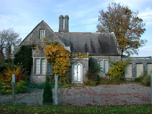 Durrow Abbeygate lodge · 1.2 mi
 Ballyduff WoodForest · 1.4 mi
 St. Columba's WellSpring · 1.6 mi
 Trumpet HillMountain / peak · 2.0 mi
 Christ's WellSpring · 3.0 mi
 Grand Canal WayWalking route · 3.5 mi