
What is recorded here
On slight ridge in area of undulating countryside, flat topped mound (approx. H 2m; diam. 17m E-W by 15m N-S) the top of which slopes from N to S with no evidence of an enclosing fosse at base of mound. There is a 19th century mill built into the W side of the mound. According to local tradition when the mill was being built part of the mound was excavated revealing several skeletons which indicates site as a possible burial mound. Appearance of the site along with lack of enclosing fosse indicates that this is the site of a natural ridge which has been utilised as a burial mound.
However its close proximity to the medieval church (OF008-045001-) and graveyard (OF008-045003-) of Tihilly may suggest that this mound may have been re-used as a possible motte in the twelfth century (Manning, Archaeological Survey of Ireland file 1988).
The above description is derived from the published 'Archaeological Inventory of County Offaly' (Dublin: Stationery Office, 1997). In certain instances the entries have been revised and updated in the light of recent research.
Date of upload: 23 May 2011
The monument record does not grant public access. Check the route and ask the landowner before entering private land.
- What survives
- Recorded monument
Places near here
 Coleraine Flour MillMill, corn · 24 yd
 European ashEuropean ash · 191 yd
 Stone CrossCross, High cross · 194 yd
 CairnCairn, unclassified · 266 yd
 Castle in ruinsCastle, unclassified · 1450 yd
 Partially hachuredBawn · 1.1 mi
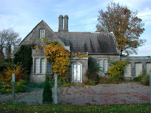 Durrow Abbeygate lodge · 1.2 mi
 Ballyduff WoodForest · 1.5 mi
 St. Columba's WellSpring · 1.6 mi
 Trumpet HillMountain / peak · 1.9 mi
 Christ's WellSpring · 3.0 mi
 Clara Bog BoardwalkHeritage attraction · 3.5 mi
Other information
Photo: Credit not shown in the picture search · Rights wording not checked; contact us if this picture should be removed