What is recorded here
Indicated is a small, heavily wooded oval island in Lough Ramor, County Cavan, sitting merely twenty metres from the shoreline yet refusing to appear on standard maps. Its compact shape and hidden position suggest a crannog built for privacy, watchfulness or escape rather than display. The lake may have swallowed the path that led to it, leaving behind an address known only through memory and water.
Small heavily wooded, oval-shaped island (dims. c. 25m N-S; 12m E-W) in an inlet in Lough Ramor, c. 20m from the shoreline. Not marked on OS 1836 or 1876 eds.
The above description is derived from the published 'Archaeological Inventory of County Cavan' (Dublin: Stationery Office, 1995). In certain instances the entries have been revised and updated in the light of recent research.
Date of upload/revision: 22 December 2008
The monument record does not grant public access. Check the route and ask the landowner before entering private land.
- What survives
- Recorded monument
Places near here
 Rahardrum Sand BankWood · 154 yd
 Ramor Aontaithe C.L.G. Dolan ParkMemorial · 264 yd
 Sessile OakSessile Oak · 340 yd
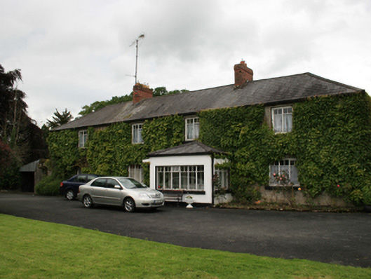 farm housefarm house · 441 yd
 The Virginia BroochMonument · 711 yd
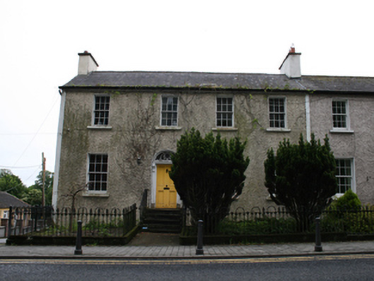 Cois Abhainnhouse · 748 yd
 Welcome to VirginiaVisitor information · 820 yd
 RahardrumCastle, unclassified · 843 yd
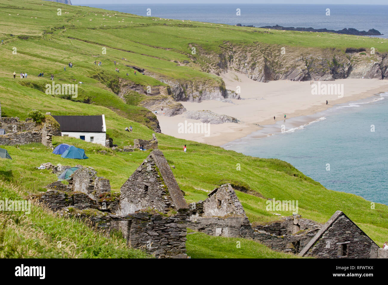 Ballaghanea IslandIslet · 877 yd
 Corronagh Sand BankIslet · 893 yd
 Virginia Handball ClubMemorial · 1095 yd
 Roll of HonourMonument · 1355 yd