What is recorded here
In the triangular Erris Bay (dims. c. 500m E-W at S; c. 200-400m N-S) at the SW corner of Lough Key, and c. 70m from a peninsula on the bay's S shore. Circular overgrown island (diam. 16m; H 1.2m) of earth and stones with horizontally laid timbers visible in the water at E. A underwater shelf (Wth c. 3m) surrounds the island.
Compiled by: Michael Moore
Date of upload: 24 August 2010
The monument record does not grant public access. Check the route and ask the landowner before entering private land.
- What survives
- Recorded monument
Places near here
 Erris BayBay · 81 yd
 Kilbryan Church (in Ruins)Church · 630 yd
 Trinity IslandIslet · 839 yd
 Bingham IslandIslet · 854 yd
 AbbeyReligious house, Premonstratensian canons · 871 yd
 Embanked enclosureFairy fort / earthen ringfort · 1154 yd
 Lough Key Forest ParkWood · 1182 yd
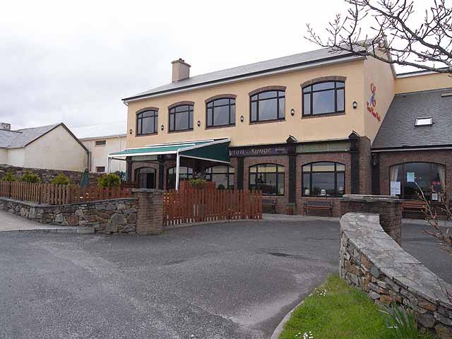 TobernadrinneyHoly well · 1409 yd
 Western RedcedarWestern Redcedar · 1471 yd
 Horse-chestnutHorse-chestnut · 1668 yd
 Longford HillMountain / peak · 1.4 mi
 Boyle AbbeyHeritage attraction · 1.6 mi