What is recorded here
Indicated is a submerged crannog on the southwest shore of Lough Carra, County Mayo. Its triangular stone frame still holds ten metres north to south and six and a half east to west beneath the bay water. Loose rock patches drift across it from northeast to northwest, marking the edge of a home that stopped fearing the lake long before people stopped visiting it.
Submerged in bay, on SW shore of Lough Carra. Revetted, stone structure, triangular in shape (10m N-S; 6.5m E-W), overlain by loose patches of rock NE to NW.
The above description has been derived from D. Lavelle (compiler), An Archaeological Survey of Ballinrobe and District including Lough Mask and Lough Carra. Lough Mask and Lough Carra Tourist Development Association (1994), No. 302.
Date of upload: 22 February 2013
The monument record does not grant public access. Check the route and ask the landowner before entering private land.
- What survives
- Recorded monument
Places near here
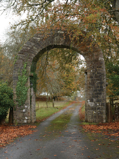 Partrygates/railings/walls · 365 yd
 Rat IslandIslet · 1438 yd
 Standing StoneMonument · 1442 yd
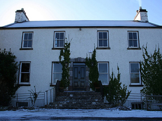 Cloonee Househunting/fishing lodge · 1473 yd
 Stare IslandIslet · 1626 yd
 IndicatedFairy fort / earthen ringfort · 1656 yd
 Caislen-na-CirceCastle, tower house · 2.4 mi
 Caislen-na-CailligheCastle, unclassified · 2.9 mi
 Kiltoom PointHeadland · 3.1 mi
 Moore Hall ForestForest · 3.4 mi
 European ashEuropean ash · 3.5 mi
 Moore Hall Forest TrailWalking route · 3.6 mi