What is recorded here
From the National Monuments Service (Archaeological Survey of Ireland) record TS088-040001
This remains an important historical record, but the official description says the monument is no longer visible or has been destroyed. The monument record does not grant public access. Check the route and ask the landowner before entering private land.
- What survives
- No visible remains or recorded as destroyed
Places near here
 Goats BridgeBridge · 518 yd
 Tar BridgeBridge · 1.3 mi
 Liam Lynch MonumentMonument · 1.6 mi
_-_geograph.org.uk_-_1393369.jpg/250px-Castles_of_Munster_-_Ardfinnan,_Tipperary_(2)_-_geograph.org.uk_-_1393369.jpg "Photo: Mike Searle, Wikimedia Commons · CC BY-SA 2.0") Ardfinnan CastleCastle · 2.6 mi
Ardfinnan CastleCastle · 2.6 mi KnocknagnauvMountain / peak · 3.4 mi
 KnockmealMountain / peak · 3.4 mi
 The VeeViewpoint · 3.4 mi
 Castle Grace (in ruins)Castle, Anglo-Norman masonry castle · 3.9 mi
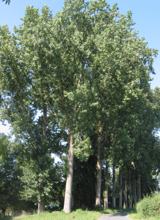 Hybrid Black Poplar4.9 mi
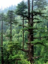 Deodar Cedar5.2 mi
 Ballysaggartmore TowersHeritage attraction · 9.6 mi
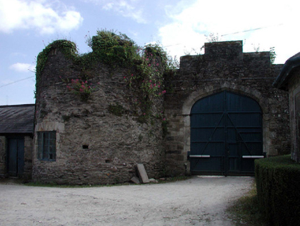 Lismore CastleFarmyard complex · 9.7 mi
Pictures: Alexander Redfern, Wikimedia Commons · CC BY-SA 4.0; National Inventory of Architectural Heritage; Mike Searle, Wikimedia Commons · CC BY-SA 2.0; Colin Park, Geograph · CC BY-SA 2.0; Hywel Williams, Geograph · CC BY-SA 2.0; Mike Searle, Geograph · CC BY-SA 2.0; Rasbak, Wikimedia Commons · CC BY-SA 3.0; Paul Evans from London, United Kingdom, Wikimedia Commons · CC BY 2.0; Photo-raven, Wikimedia Commons · CC BY-SA 4.0
More archaeology and monuments in County Tipperary · All of County Tipperary
What do you know about this place?