What is recorded here
Indicated is a ruined fairy fort in County Mayo, overlooked by two other ancient forts on nearby hills. A modern field fence cut through its centre, destroying half the mound and leaving only a faint shadow of what once stood. The untouched southern half still rises above the pasture, hidden in gorse, waiting for someone to notice the shape beneath the thorns.
In pasture, located on a rise in undulating terrain. It is overlooked by a rath (MA071-151----) located on the summit of a prominent hillock 130m to SSE, and another rath (MA071-149----) is visible 130m to NNW. There is a stream/drain 240m to S, with which the townland boundary coincides.
Raised circular area (35m NNW−SSE; 32m ENE−WSW) defined at ENE−W by a scarp (H 2.2; Wth slope 3m, at E; H 1.4m at W), levelled at WNW−NE to a low undulation (H 0.6m).
A field fence, with parallel field ditch, on a ENE−WSW axis crosses the rath roughly centrally. To N of the fence, the rath has been levelled but its outline can still be traced. To S of the field fence, the rath remains quite well preserved. The interior is level, grassy and featureless. The scarp on the S half is engulfed in gorse.
Compiled by: Jane O’Shaughnessy
Date of upload: 13 September 2021
The monument record does not grant public access. Check the route and ask the landowner before entering private land.
- What survives
- Recorded monument
Places near here
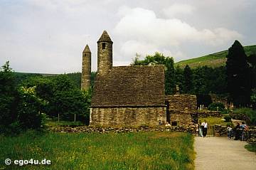 IndicatedEnclosure · 568 yd
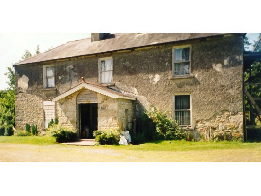 Killedan Housefarm house · 1744 yd
 Dan's Cottagefarm house · 1.1 mi
 Enclosure in BoholaEnclosure · 2.1 mi
 Thorn CaveCave · 2.5 mi
 Castle in ruinsCastle, tower house · 2.5 mi
 I'll Send You The FareMemorial · 2.7 mi
 Kiltimagh MuseumMuseum · 2.9 mi
 Carrowbeg WoodWood · 3.3 mi
 CashlankeeghCastle, unclassified · 3.6 mi
 Michael DavittMemorial · 4.7 mi
 Brabazon WoodsForest · 5.5 mi