What is recorded here
In pasture, located on a rise in undulating terrain. It is overlooked by a rath (MA071-151----) located on the summit of a prominent hillock 130m to SSE, and another rath (MA071-149----) is visible 130m to NNW. There is a stream/drain 240m to S, with which the townland boundary coincides.
Raised circular area (35m NNW−SSE; 32m ENE−WSW) defined at ENE−W by a scarp (H 2.2; Wth slope 3m, at E; H 1.4m at W), levelled at WNW−NE to a low undulation (H 0.6m).
A field fence, with parallel field ditch, on a ENE−WSW axis crosses the rath roughly centrally. To N of the fence, the rath has been levelled but its outline can still be traced. To S of the field fence, the rath remains quite well preserved. The interior is level, grassy and featureless. The scarp on the S half is engulfed in gorse.
Compiled by: Jane O’Shaughnessy
Date of upload: 13 September 2021
The monument record does not grant public access. Check the route and ask the landowner before entering private land.
- What survives
- Recorded monument
Places near here
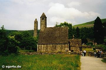 IndicatedEnclosure · 568 yd
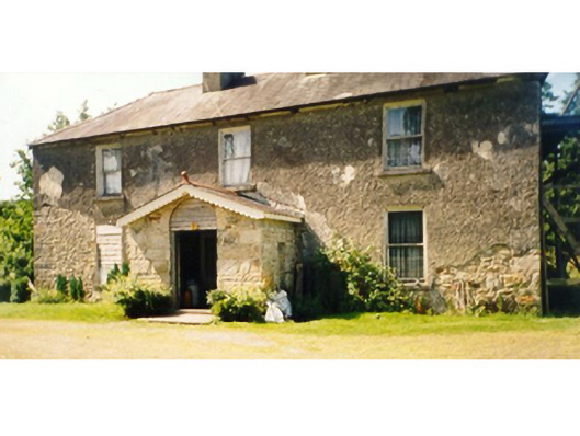 Killedan Housefarm house · 1744 yd
 Dan's Cottagefarm house · 1.1 mi
 Enclosure in BoholaEnclosure · 2.1 mi
 Thorn CaveCave · 2.5 mi
 Castle in ruinsCastle, tower house · 2.5 mi
 I'll Send You The FareMemorial · 2.7 mi
 Kiltimagh MuseumMuseum · 2.9 mi
 Carrowbeg WoodWood · 3.3 mi
 CashlankeeghCastle, unclassified · 3.6 mi
 Michael DavittMemorial · 4.7 mi
 Brabazon WoodsForest · 5.5 mi