What is recorded here
In pasture, on S-facing slope. Depicted as hachured rectangular enclosure (c. 50m NE-SW; c. 35m SE-NW) on 1842 OS 6-inch map; as rectangular field on 1904 and 1938 OS 6-inch maps. Rectangular area (53m NE-SW; 38m SE-NW) defined by earthen bank (H 2m) to NE and SE; low grass-covered rise (H 0.3m) to SW and NW. Bank to NE and SE incorporated into field fence system; heavily overgrown. No evidence for fosse except on SE side where external surface slopes gently down to base of bank.
The above description is derived from the published 'Archaeological Inventory of County Cork. Volume 3: Mid Cork' (Dublin: Stationery Office, 1997). In certain instances the entries have been revised and updated in the light of recent research.
Date of upload/revision: 14 January 2009
The monument record does not grant public access. Check the route and ask the landowner before entering private land.
- What survives
- Recorded monument
Places near here
 Castle (Site of)Castle, Anglo-Norman masonry castle · 1226 yd
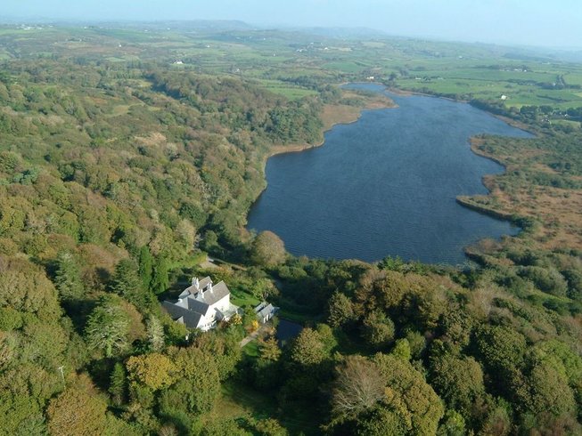 LissardFairy fort / earthen ringfort · 1293 yd
 Mound in Lissard (barretts By.)Mound · 1727 yd
 Rock HillMountain / peak · 1.2 mi
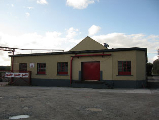 Rathduff Creamerycreamery · 1.2 mi
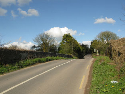 bridgebridge · 1.3 mi
 Bottle HillMountain / peak · 2.0 mi
 St John's WellSpring · 2.3 mi
 Graveyard in KilmonaGraveyard · 2.9 mi
 Pairc Ath Na hEornaMemorial · 3.1 mi
 Castle BarrettCastle · 4.0 mi
 Cork WalksVisitor information · 11 mi