What is recorded here
Marked 'Fort' on OS 1836 and 1876 eds. Sited on the highest point of a low natural rise .Raised circular area (int. dims 15.7m N-S; 15.3m E-W) enclosed by a low but well-defined earthen bank with a wide, shallow, internal fosse. Original entrance not recognisable.
The above description is derived from the published 'Archaeological Inventory of County Cavan' (Dublin: Stationery Office, 1995). In certain instances the entries have been revised and updated in the light of recent research.
Date of upload/revision: 22 December 2008
The monument record does not grant public access. Check the route and ask the landowner before entering private land.
- What survives
- Recorded monument
Places near here
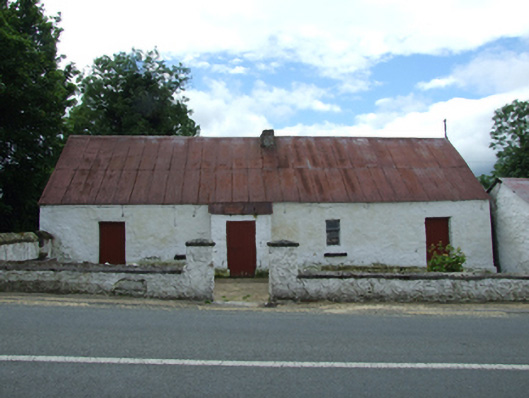 farm housefarm house · 572 yd
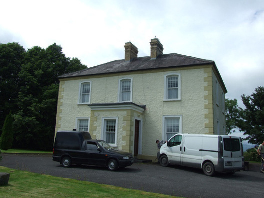 The Presbyterypresbytery/parochial/curate's house · 590 yd
 Tober PatrickHoly well · 847 yd
 Killycluggin StoneVisitor information · 975 yd
 LissanoverCastle, unclassified · 1095 yd
 Enclosure in CorEnclosure · 1117 yd
 Saint Mogue's IslandIslet · 1.0 mi
 Giants GraveArchaeological place · 1.2 mi
 Common LimeCommon Lime · 1.2 mi
 SycamoreSycamore · 1.2 mi
 Bellaheady MountainMountain / peak · 1.7 mi
 CastleCastle, ringwork · 2.6 mi