What is recorded here
Indicated is a circular earthen fort on the highest point of a low rise in County Cavan, marked as a fort on maps from 1836 and 1876. Its well-defined bank and shallow internal ditch still enclose a space fifteen metres across, though the original entrance has vanished without a trace. The shape suggests a place for watching, waiting or living under an open sky, yet no name, date or event has survived to confirm which.
Marked 'Fort' on OS 1836 and 1876 eds. Sited on the highest point of a low natural rise .Raised circular area (int. dims 15.7m N-S; 15.3m E-W) enclosed by a low but well-defined earthen bank with a wide, shallow, internal fosse. Original entrance not recognisable.
The above description is derived from the published 'Archaeological Inventory of County Cavan' (Dublin: Stationery Office, 1995). In certain instances the entries have been revised and updated in the light of recent research.
Date of upload/revision: 22 December 2008
The monument record does not grant public access. Check the route and ask the landowner before entering private land.
- What survives
- Recorded monument
Places near here
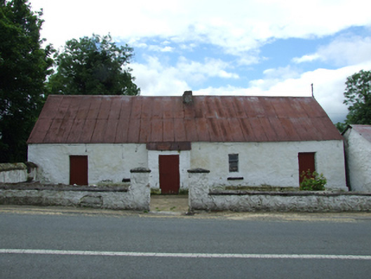 farm housefarm house · 572 yd
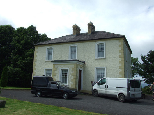 The Presbyterypresbytery/parochial/curate's house · 590 yd
 Tober PatrickHoly well · 847 yd
 Killycluggin StoneVisitor information · 975 yd
 LissanoverCastle, unclassified · 1095 yd
 Enclosure in CorEnclosure · 1117 yd
 Saint Mogue's IslandIslet · 1.0 mi
 Giants GraveArchaeological place · 1.2 mi
 Common LimeCommon Lime · 1.2 mi
 SycamoreSycamore · 1.2 mi
 Bellaheady MountainMountain / peak · 1.7 mi
 CastleCastle, ringwork · 2.6 mi